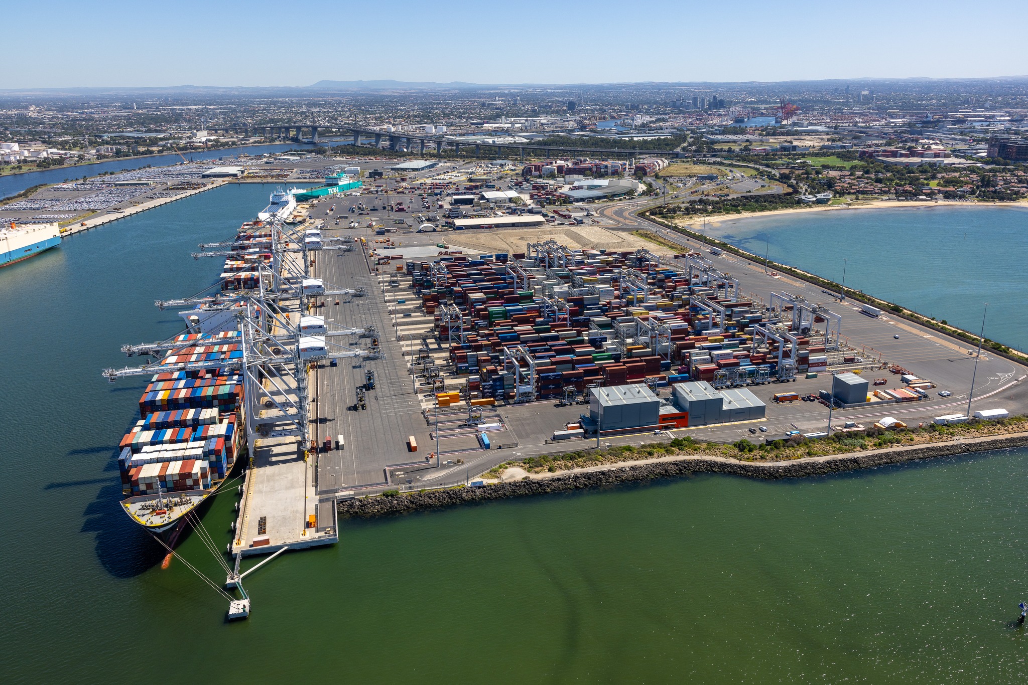
Share updates on your projects with investors and other stakeholders easily.
Construction Photography & Aerial Imaging Services
Capturing Progress with Precision
Professional construction photography and aerial imaging play a crucial role in documenting, marketing, and ensuring compliance for major infrastructure projects. At Aerial Now, we specialise in delivering high-quality visual content that meets industry standards and enhances project communication.
Our Services
Ground-Level Construction Photography
We provide professional DSLR photography to document all phases of your project. Our services include:
- High-resolution images capturing key milestones and site progress.
- Compliance with privacy and safety regulations.
- Before, during, and after construction documentation.
- Professional composition to ensure impactful and engaging visuals.
Aerial Photography & Videography
We provide licensed and insured aerial imaging services using both fixed-wing aircraft and helicopters. Our services include:
- High-resolution aerial photography captured from fixed-wing aircraft and helicopters.
- CASA-certified pilots ensuring compliance with aviation regulations.
- Before-and-after aerial documentation for project comparisons.
- High-resolution 4K video and still photography for marketing and reporting.
- Custom flight paths to capture unique angles and perspectives.
- Safety-focused operations with site-specific risk assessments.
Why Choose Us?
Expertise
With over 20 years of experience in aerial and construction photography, we understand the unique requirements of infrastructure projects.
Compliance
We strictly adhere to privacy, safety, and aviation regulations, ensuring seamless project integration and compliance with government standards.
Quality
Our high-resolution imagery meets and exceeds industry standards, delivering impactful visuals suitable for marketing, reporting, and compliance documentation.
Solutions
We offer a full suite of visual documentation services, from ground-level photography to advanced aerial imaging, tailored to your project’s needs.
Get in Touch
Let’s discuss how we can help document and showcase your construction project with high-quality visual content. Contact us today to learn more or request a quote.

