Aerial Now

Explore

  • Our work
  • Browse archive
  • Services and schedules

Contact and portal

  • General enquiries
  • Client portal
  • About Aerial Now

Your next project

Keep your team informed, track progress and see your sites clearly, with dated photography that’s easy to find, compare and share.

Request a quote↗
LicensingRequest licencePrivacy policy

Copyright Aerial Now. Images may not be copied, downloaded or reproduced without a licence.

Aerial Now
Our workArchiveContactClient portal
Aerial Now / Archive

Browse Aerial Photography

Construction, infrastructure and development aerial photography across Melbourne and Victoria.

231 images
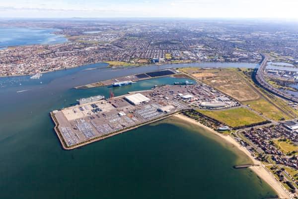
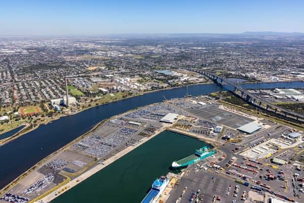
Aerial view of Webb Dock, vehicle storage areas and ships beside the Yarra River entrance, with West Gate Bridge and the Port Melbourne shoreline.
Webb Dock and Yarra River entrance aerial view, 27 July 2011
—
View project record →
Aerial view of Webb Dock vehicle storage rows, cargo handling areas, warehouses and ships at berth.
Webb Dock vehicle storage and cargo berths aerial view, 27 July 2011
—
View project record →
Aerial view of Webb Dock wharves, cargo ships, vehicle storage areas and the Port Melbourne waterfront, with the Melbourne skyline beyond.
Webb Dock wharves and Port Melbourne aerial view, 27 July 2011
—
View project record →
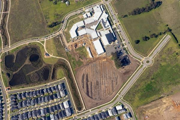
Aerial view of Clyde Secondary College on Woodfield Avenue in Clyde, showing campus buildings, hardcourts, car parking, earthworks and a prepared sports oval area beside nearby residential streets.
Clyde Secondary College expansion works
Clyde VIC 3978
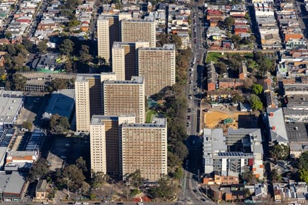
Aerial view of the Langdon Park public housing towers in Richmond, with Elizabeth Street, surrounding streets and a construction site at 106 Elizabeth Street visible nearby.
Langdon Park towers and 106 Elizabeth Street works
Richmond VIC 3121
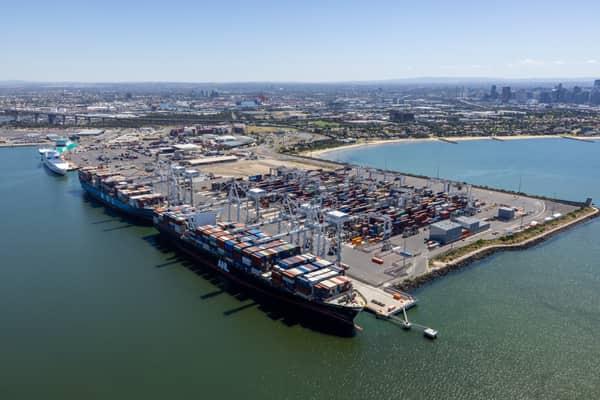
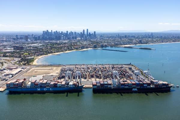
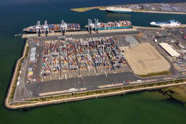
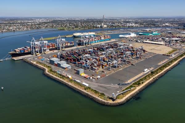
Aerial view of container ships berthed at Webb Dock East in Port Melbourne, with ship-to-shore cranes, container stacks, Port Phillip Bay and the Melbourne CBD skyline in the background.
Webb Dock East container ships
Port Melbourne VIC 3207
View project record →
Aerial view of Webb Dock East at the Port of Melbourne, showing container ships, ship-to-shore cranes, container stacks, Port Phillip Bay and the Melbourne CBD skyline in the background.
Webb Dock East container berths, Port Melbourne VIC
Newport VIC 3015
View project record →
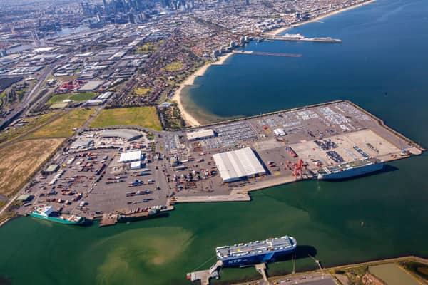
Aerial view of Webb Dock West vehicle storage and roll-on roll-off berths beside the Yarra River in Port Melbourne, with the West Gate Bridge and Melbourne suburbs beyond.
Webb Dock West vehicle berths
Port Melbourne VIC 3207
View project record →
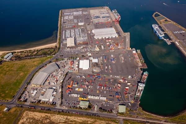
Aerial view of Webb Dock East at the Port of Melbourne in Port Melbourne, showing container stacks, ship-to-shore cranes, berthed container vessels, port roads and surrounding harbour water.
Webb Dock East container terminal
Port Melbourne VIC 3207
View project record →
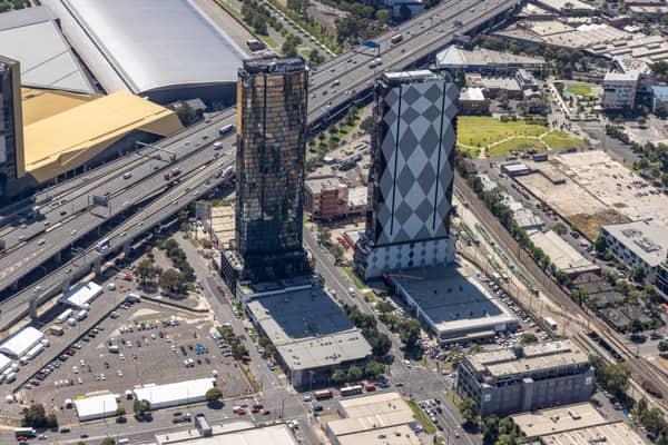
Aerial view of high-rise towers on Normanby Road in Southbank beside the West Gate Freeway and the Melbourne Convention and Exhibition Centre.
Normanby Road towers and West Gate Freeway
Southbank VIC 3006
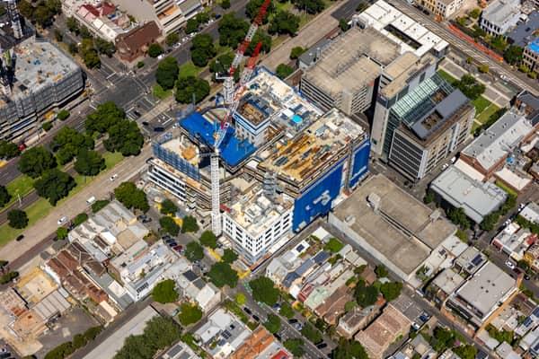
Aerial view of Australian Catholic University’s Saint Teresa of Kolkata Building under construction in Fitzroy on 7 February 2022, with cranes and incomplete upper levels visible.
Saint Teresa of Kolkata Building construction
Fitzroy VIC 3065
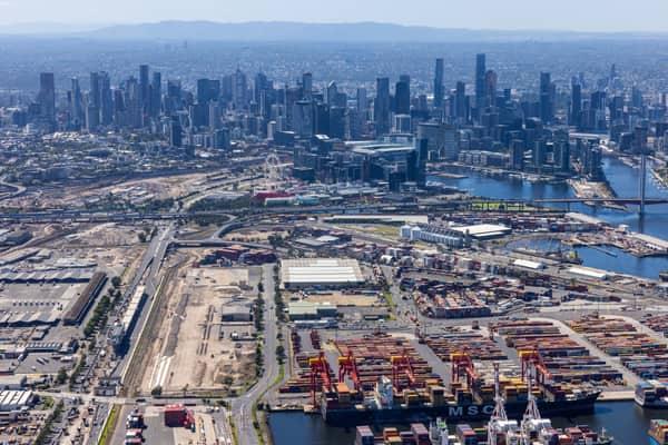
Aerial view of Port of Melbourne container terminals, the Port Rail Transformation Project construction site, Bolte Bridge and the Melbourne CBD skyline in February 2022.
Port of Melbourne and CBD skyline
West Melbourne VIC 3003
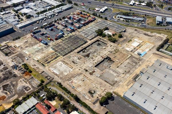
Aerial view of the former General Motors Holden factory redevelopment site, with dismantled structures, container storage and the West Gate Freeway in Port Melbourne, Victoria.
Former Holden factory redevelopment
Port Melbourne VIC 3207
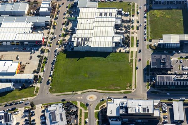
Aerial view of a vacant industrial land parcel surrounded by warehouses, commercial buildings, car parks and a roundabout in Clyde North, Victoria.
Vacant industrial land
Clyde North VIC 3978
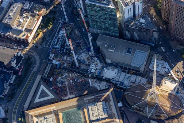
Aerial construction-progress view of the Melbourne Arts Precinct Transformation, with tower cranes, concrete works and the Arts Centre Melbourne spire in Southbank, Victoria.
Melbourne Arts Precinct Transformation
Southbank VIC 3006
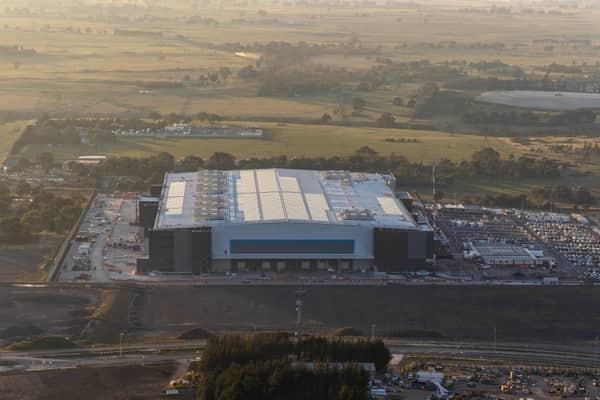
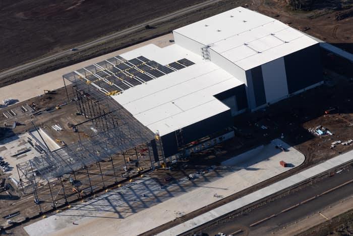
Aerial view of the Amazon Robotics Fulfilment Centre under construction in Craigieburn, with a large warehouse building, loading areas, staff parking and surrounding rural land.
Amazon Robotics Fulfilment Centre
Craigieburn VIC 3064
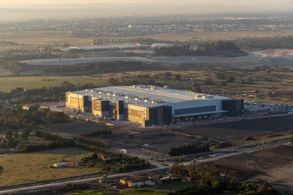
Aerial view of a large industrial warehouse complex surrounded by roads, car parks, open land and developing estates in Mickleham, Victoria.
Industrial warehouse
Mickleham VIC 3064
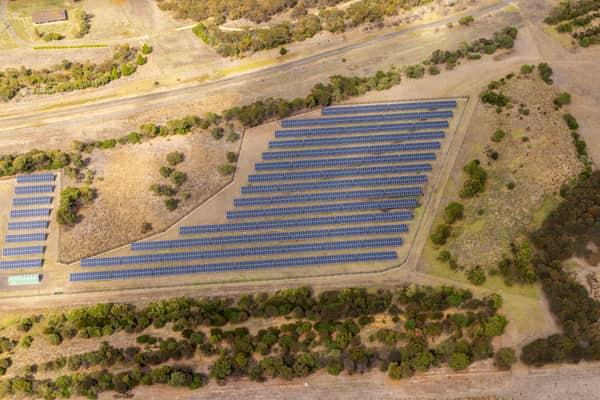
Aerial view of Black Rock Solar Farm in Connewarre, with rows of photovoltaic panels set among dry grassland, trees and access tracks near the Black Rock Water Reclamation Plant.
Black Rock Solar Farm arrays
Connewarre VIC 3227
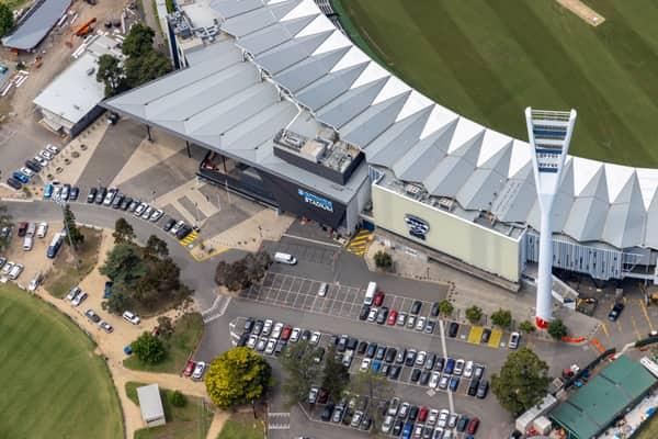
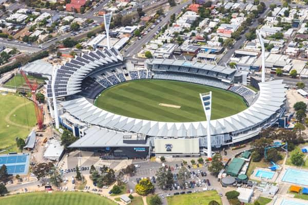
Aerial view of GMHBA Stadium at Kardinia Park in South Geelong, showing the grandstand roof, Cats signage, light tower, football oval edge and surrounding car parks.
GMHBA Stadium and Cats signage
South Geelong VIC 3220
View project record →
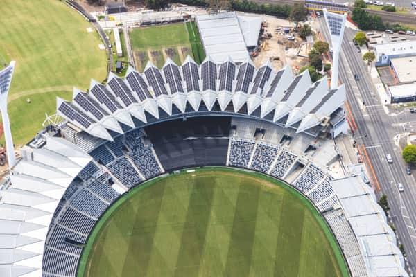
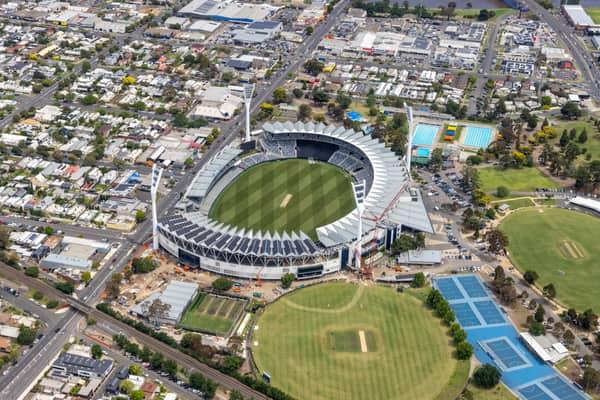
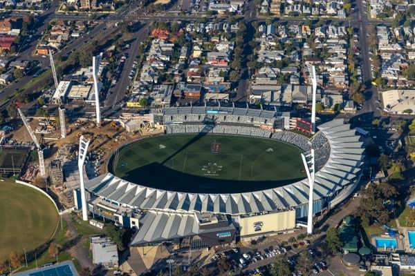
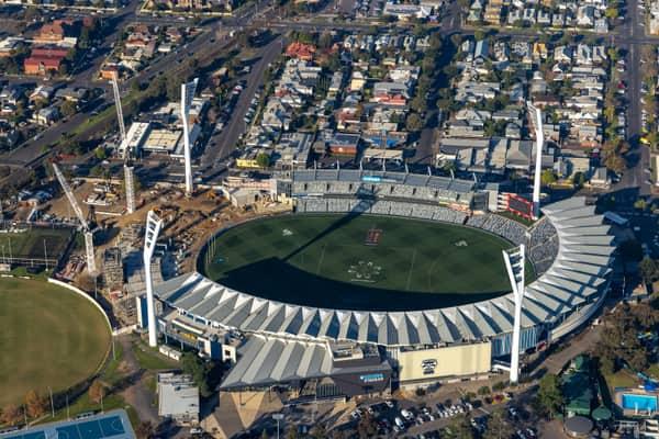
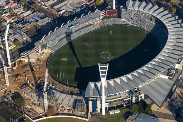
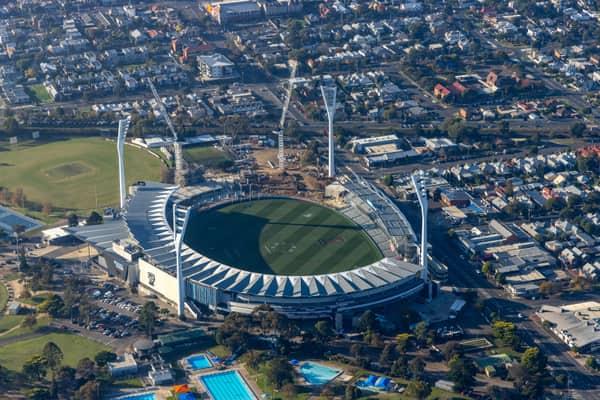
Aerial view of GMHBA Stadium at Kardinia Park in South Geelong, showing the oval, tiered seating, roof structures, nearby construction works and Moorabool Street.
GMHBA Stadium redevelopment and Moorabool Street
South Geelong VIC 3220
View project record →
Aerial view of GMHBA Stadium at Kardinia Park in South Geelong, with the oval, grandstands, nearby sports fields, tennis courts, streets and surrounding residential blocks visible.
GMHBA Stadium and Kardinia Park courts
South Geelong VIC 3220
View project record →
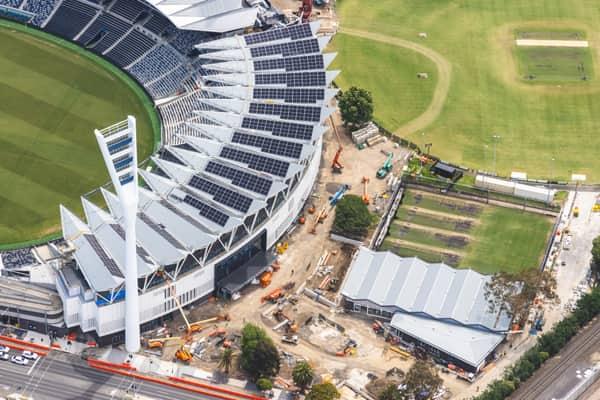
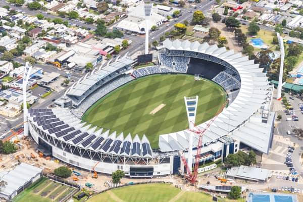
Aerial view of GMHBA Stadium at Kardinia Park in South Geelong, showing grandstands with rooftop solar panels, construction works and surrounding sports fields.
GMHBA Stadium redevelopment and rooftop solar
South Geelong VIC 3220
View project record →
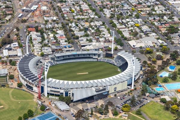
Aerial view of GMHBA Stadium at Kardinia Park in South Geelong, showing the oval, grandstands, light towers, nearby Moorabool Street, aquatic centre pools and construction activity.
GMHBA Stadium and Moorabool Street
South Geelong VIC 3220
View project record →
Aerial view of GMHBA Stadium at Kardinia Park in South Geelong, showing the oval, grandstands, surrounding streets, car parks and construction works.
GMHBA Stadium construction works
South Geelong VIC 3220
View project record →
Aerial view of GMHBA Stadium in Kardinia Park, South Geelong, showing the oval, grandstands, nearby cricket grounds, tennis courts, car parks and surrounding streets.
GMHBA Stadium and tennis courts
South Geelong VIC 3220
View project record →
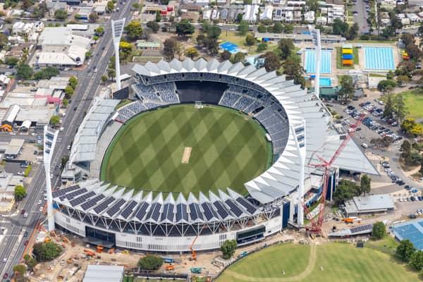
Aerial view of GMHBA Stadium at Kardinia Park in South Geelong, showing the oval, grandstands, cranes and redevelopment works beside surrounding streets and parkland.
GMHBA Stadium redevelopment
South Geelong VIC 3220
View project record →
Aerial view of GMHBA Stadium within Kardinia Park in South Geelong, with grandstands, the oval, surrounding car parks, sports fields and residential streets visible.
GMHBA Stadium and sports fields
South Geelong VIC 3220
View project record →
Aerial view of GMHBA Stadium at Kardinia Park in South Geelong, showing the oval, grandstands, light towers, car parking and surrounding streets.
GMHBA Stadium and car parks
South Geelong VIC 3220
View project record →
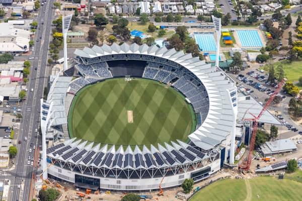
Aerial view of GMHBA Stadium in Kardinia Park, South Geelong, showing the oval, grandstands, roof structures, light towers, nearby streets, car parks and a construction crane.
GMHBA Stadium redevelopment crane
South Geelong VIC 3220
View project record →
Aerial view of GMHBA Stadium at Kardinia Park in South Geelong, with the oval, grandstands, light towers, surrounding streets, car parks and nearby aquatic facilities visible.
GMHBA Stadium and Kardinia Aquatic Centre
South Geelong VIC 3220
View project record →
Aerial view of GMHBA Stadium within Kardinia Park in South Geelong, showing the oval, grandstands, light towers, surrounding streets, sports fields and Kardinia Aquatic Centre pools.
GMHBA Stadium and Kardinia Park
South Geelong VIC 3220
View project record →
Aerial view of GMHBA Stadium at Kardinia Park in South Geelong, showing the oval, grandstands, light towers, surrounding streets and cranes near the precinct.
GMHBA Stadium grandstands
South Geelong VIC 3220
View project record →
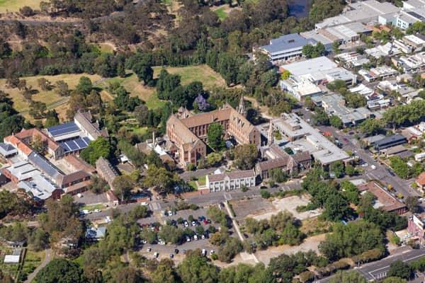
Aerial view of Abbotsford Convent in Abbotsford VIC, showing the historic convent buildings, gardens, car parking, nearby streets and surrounding parkland.
Abbotsford Convent and surrounding parkland aerial view
Abbotsford VIC 3067
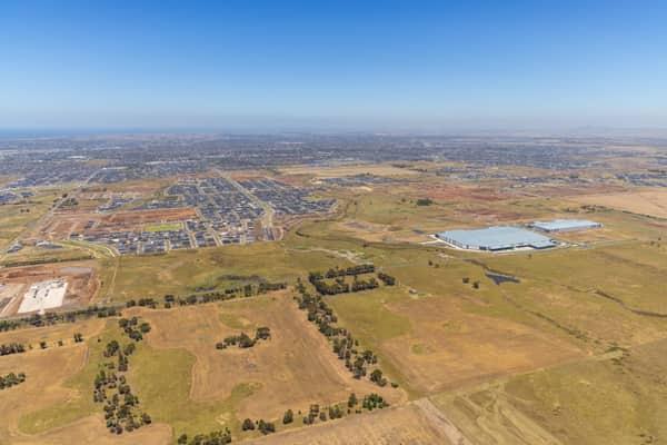
Wide aerial view over Boundary Road in Truganina, showing established warehouses, expanding housing estates, open farmland and the future Djeembana logistics precinct in Melbourne's west.
Boundary Road growth corridor aerial view
Truganina VIC 3029
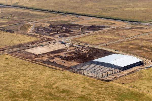
Aerial view of warehouse construction at Agar Industrial Estate Stage 4 on Middle Road, Truganina, showing steel framing, a partially roofed warehouse, earthworks, newly built estate roads and open land.
Agar Industrial Estate Stage 4 warehouse construction aerial view
Truganina VIC 3029
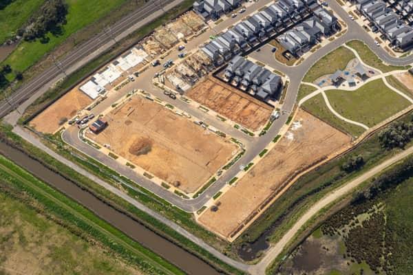
Aerial view of Casey Green Estate construction at Loosestrife Street, Narre Warren, showing timber-framed townhouses, serviced lots, new streets, parkland, a drainage channel and adjacent rail corridor.
Casey Green Estate construction aerial view
Narre Warren VIC 3805
Aerial view of the North East Link construction site in Heidelberg, showing roadworks, construction zones, suburban streets, parkland and surrounding residential areas.
North East Link construction with road alignments
Heidelberg VIC 3084
View project record →
Aerial view of the Somerton rail freight terminal area with gantry cranes, rail sidings, freight handling infrastructure and nearby industrial land in Victoria.
Somerton rail freight terminal and gantry cranes, VIC
Somerton VIC 3062
Aerial view of North East Link construction works beside Bulleen Park, showing a cricket oval, synthetic sports fields, roads, trees and nearby residential streets in Bulleen VIC.
North East Link construction beside Bulleen Park
Bulleen VIC 3105
Aerial view of rail-mounted gantry cranes under construction at the Somerton Intermodal Terminal beside the Melbourne-Sydney freight line in Somerton, Victoria.
Somerton Intermodal Terminal construction aerial view, VIC
Somerton VIC 3062
Aerial view of the North East Link construction worksite beside green sports fields and parkland near Balwyn Road in Bulleen, Victoria.
North East Link worksite beside sports fields
Bulleen VIC 3105
Aerial view of North East Link construction works in Bulleen, with road alignments, work zones, homes, parkland and suburban streets.
North East Link construction with curved road alignments
Bulleen VIC 3105
View project record →
Aerial view of North East Link construction works in Bulleen VIC, showing cranes, work zones, temporary structures, roads and surrounding bushland.
North East Link construction with cranes and staging areas
Bulleen VIC 3105
Aerial view of North East Link construction works around the Eastern Freeway in Bulleen, with major roadworks, bridges, suburban housing, sports fields and parkland visible.
North East Link construction and Eastern Freeway
Bulleen VIC 3105
Aerial view over Craigieburn Road with retail car parks, suburban housing estates, dry paddocks and lakes in Craigieburn, Victoria.
Craigieburn Road retail and housing
Craigieburn VIC 3064
Aerial view of Craigieburn Road and Craigieburn Central in Craigieburn, showing the shopping centre, surrounding car parks, suburban streets, housing estates and distant Melbourne skyline.
Craigieburn Road and Craigieburn Central
Craigieburn VIC 3064
Aerial view of North East Link construction works in Bulleen, with roadworks, surrounding suburban streets, parkland and the Melbourne skyline in the distance.
North East Link construction among parkland and arterial roads
Bulleen VIC 3105
Aerial view of the Craigieburn Road commercial precinct in Craigieburn, with major roads, shopping centre car parks, housing estates and parkland visible.
Craigieburn Road commercial precinct
Craigieburn VIC 3064
Aerial view of Bulleen Road crossing the Eastern Freeway in Balwyn North, with active road construction, traffic lanes, work zones, parked vehicles and surrounding trees.
Bulleen Road and Eastern Freeway works
Balwyn North VIC 3104
Aerial view of North East Link construction works with road infrastructure, work zones, car parks and sports fields in Bulleen, Victoria.
North East Link construction with sports fields
Bulleen VIC 3105
View project record →
Aerial view of road and bridge construction beside sports fields, car parks and surrounding streets in Balwyn North, Victoria.
Road and bridge construction
Balwyn North VIC 3104
Aerial view of North East Link construction works in Bulleen, showing major road lanes, traffic, work zones, cranes and nearby residential streets.
North East Link construction with road traffic and cranes
Bulleen VIC 3105
Aerial view of the North East Link construction site beside Manningham Road in Bulleen, with cranes, bridge works, traffic, parkland and a nearby sports oval visible.
North East Link construction beside Manningham Road
Bulleen VIC 3105
Aerial view of Boroondara General Cemetery in Kew, with surrounding residential streets, sports ovals and tennis courts visible nearby.
Boroondara General Cemetery beside cricket ovals
Kew VIC 3101
Aerial view of the North East Link construction site in Bulleen VIC, showing cranes, work zones, roadworks, surrounding suburban streets and bushland.
North East Link construction site with earthworks and cranes
Bulleen VIC 3105
Aerial view of Union Road rail corridor construction in Somerton VIC, with concrete works, rail lines, nearby industrial tanks, commercial buildings and surrounding residential streets.
Union Road rail corridor construction
Somerton VIC 3062
Aerial view of North East Link construction works in Bulleen, showing major road corridors, earthworks, sporting fields, parkland and surrounding suburban streets.
North East Link construction at interchange works
Bulleen VIC 3105
Aerial view of Eastern Freeway and Bulleen Road interchange construction in Balwyn North, with traffic, work zones, sports fields and residential streets around the site.
Eastern Freeway interchange construction
Balwyn North VIC 3104
Aerial view of the Somerton rail freight terminal area with gantry cranes, rail sidings, adjacent tracks, industrial land and nearby housing in Somerton, Victoria.
Somerton rail freight terminal area
Somerton VIC 3062
Aerial view of the North East Link construction site in Bulleen VIC, with cranes, tunnelling works, site sheds, surrounding roads, homes and bushland.
North East Link construction beside bushland and homes
Bulleen VIC 3105
Aerial view of Boroondara General Cemetery in Kew, with surrounding residential streets, sports ovals, parkland and Melbourne suburbs extending into the distance.
Boroondara General Cemetery beside sports grounds
Kew VIC 3101
Aerial view of North East Link construction in Heidelberg, showing major roadworks, excavation areas, site compounds, traffic and surrounding residential streets.
North East Link construction with road realignments
Heidelberg VIC 3084
Aerial view of Eastern Freeway construction works in Balwyn North, with traffic, heavy machinery, work zones and nearby streets visible.
Eastern Freeway construction works
Balwyn North VIC 3104
Aerial view of high-rise office towers and apartment buildings in Melbourne CBD, with dense city blocks, street trees and visible Aon signage.
Melbourne CBD high-rise buildings
Melbourne VIC 3000
Aerial view of Parliament House beside Treasury Gardens in Melbourne, with The Hotel Windsor, Spring Street traffic, parkland and surrounding CBD buildings visible.
Parliament House and Treasury Gardens, Melbourne VIC
East Melbourne VIC 3002
Aerial view of Bourke Street and dense Melbourne CBD city blocks with high-rise office towers, streets, rooftops and tree-lined roads.
Bourke Street city blocks
Melbourne VIC 3000
Aerial view of Parliament House beside Spring Street in Melbourne, with surrounding CBD office towers, traffic, city streets and parkland.
Parliament House and Spring Street, Melbourne VIC
East Melbourne VIC 3002
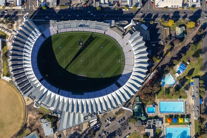
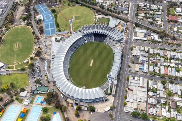
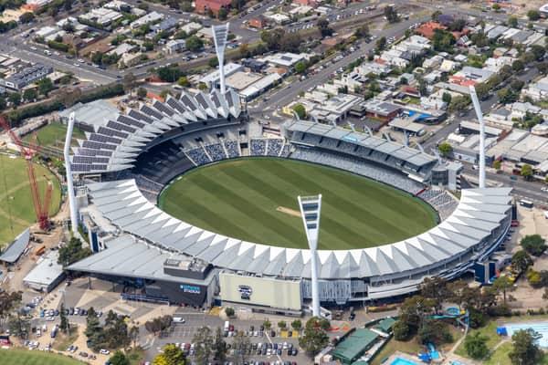
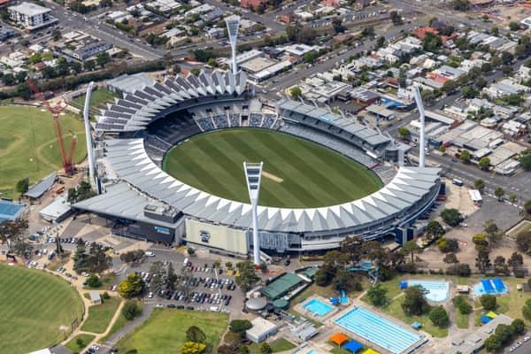
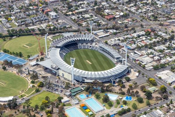
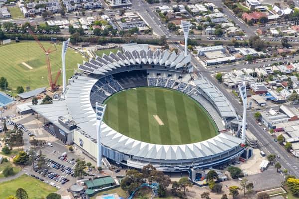
Aerial view of GMHBA Stadium at Kardinia Park in South Geelong, showing the oval playing field, grandstands, surrounding streets, car parks and nearby swimming pools.
GMHBA Stadium at Kardinia Park
South Geelong VIC 3220
View project record →
Aerial view of a large industrial warehouse construction site on Brinbrook Street in Tarneit VIC, with white roof panels, steel framing, concrete hardstand and surrounding earthworks.
Warehouse construction on Brinbrook Street
Tarneit VIC 3029
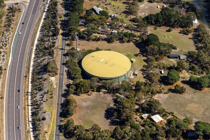
Aerial view of a large circular water storage tank beside Andersons Road in Drysdale, with nearby rural properties, trees and a divided road corridor.
Water storage tank, Andersons Road Drysdale VIC
Drysdale VIC 3222
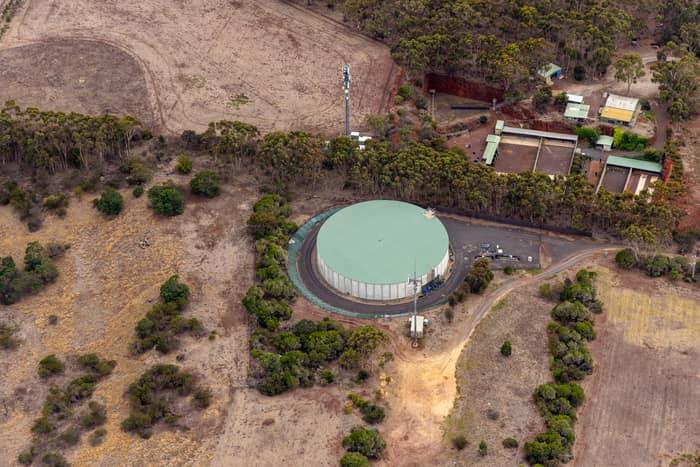
Aerial view of a large circular water storage tank surrounded by dry paddocks, bushland and utility buildings in Mount Duneed, Victoria.
Mount Duneed water storage tank
Mount Duneed VIC 3217
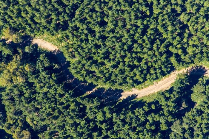
Aerial view of an unsealed forest track winding through dense green woodland near Beech Forest in the Otway Ranges, Victoria.
Unsealed forest track
Beech Forest VIC 3237
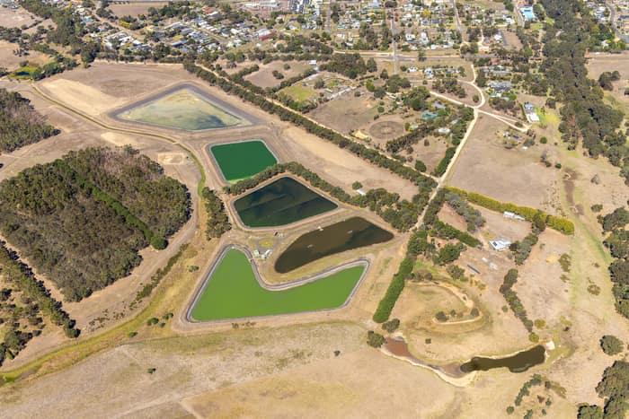
Aerial view of wastewater treatment ponds and service tracks on the edge of Winchelsea, VIC, with rural paddocks and township streets nearby.
Wastewater treatment ponds
Winchelsea VIC 3241
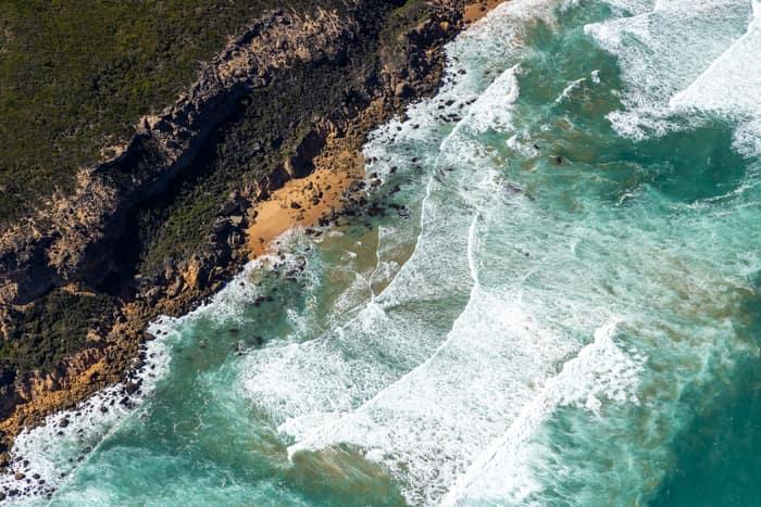
Aerial view of rugged cliffs, sandy coves and breaking surf along the Port Campbell National Park coastline near Princetown, Victoria.
Port Campbell National Park coastline with rocky coves
Princetown VIC 3269
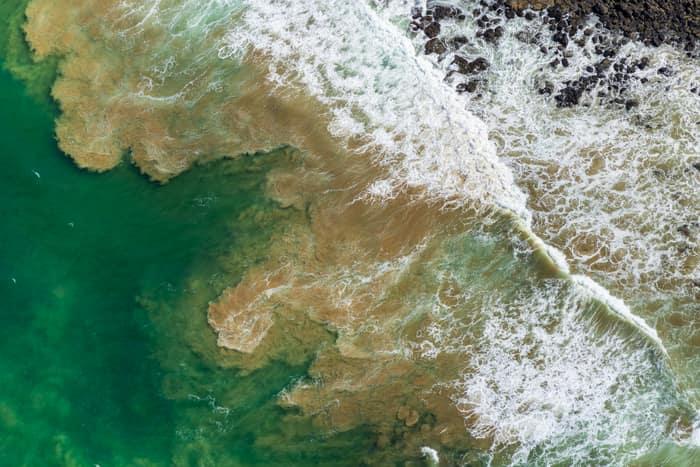
Aerial view of waves breaking over a shallow rocky reef and green coastal water at Breamlea, Victoria.
Rock platform and surf, Breamlea VIC
Connewarre VIC 3227
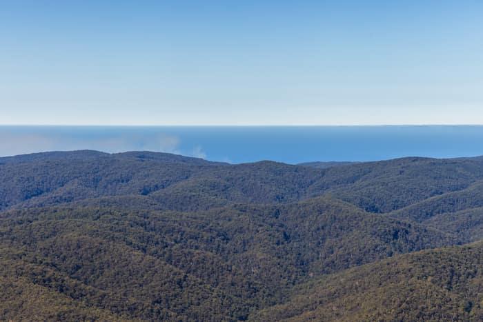
Aerial view over forested hills of Great Otway National Park near Lorne, with Bass Strait visible beyond the rolling ranges.
Great Otway National Park forest ranges, near Lorne VIC
Barwon Downs VIC 3243
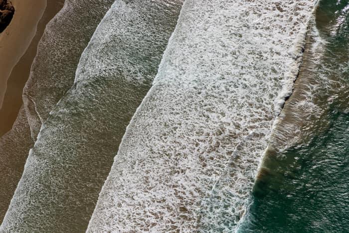
Aerial view of white surf lines breaking over a sandy shoreline near Anglesea on the Victorian coast.
Surf breaking on coastline
Anglesea VIC 3230
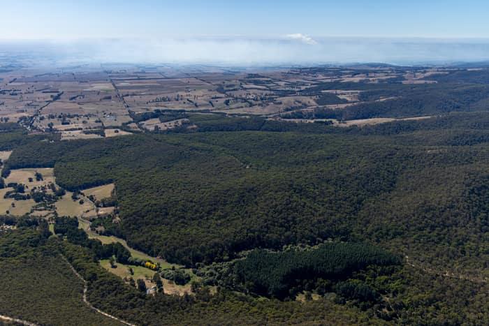
Aerial view of dense Otway forest, plantation blocks and surrounding farmland near Forrest in Victoria, with distant haze across the rural landscape.
Otway forest and farmland, Forrest VIC
Barwon Downs VIC 3243
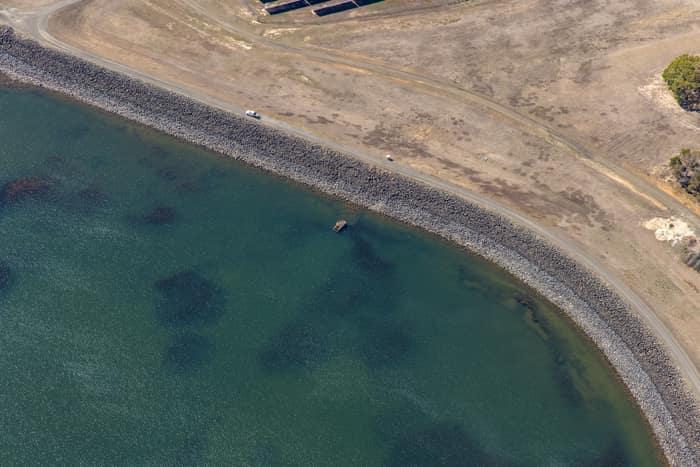
Aerial view of Wurdee Boluc Reservoir shoreline showing green water, a rock-armoured embankment, dry access tracks and vehicles near Wurdiboluc, Victoria.
Wurdee Boluc Reservoir shoreline
Wurdiboluc VIC 3241
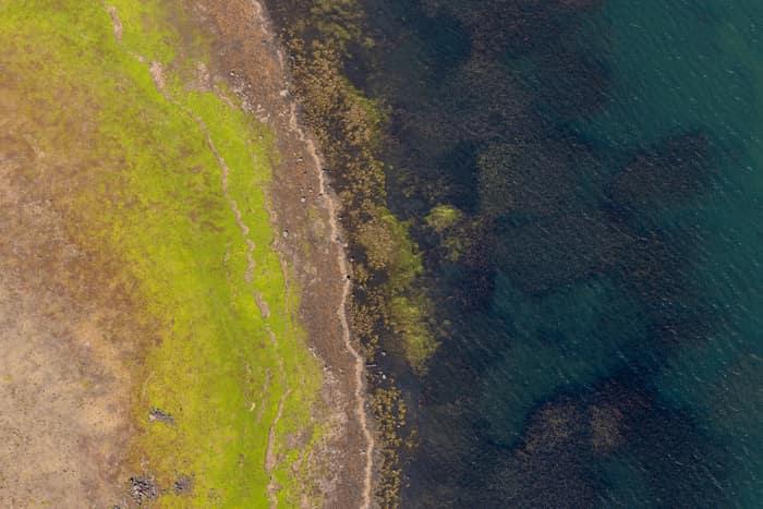
Aerial view of the Lake Modewarre shoreline at Modewarre VIC, showing shallow water, algae-darkened lakebed and grassy foreshore.
Lake Modewarre shoreline with grassy foreshore, Modewarre VIC
Wurdiboluc VIC 3241
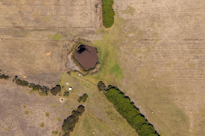
Aerial view of a farm dam surrounded by dry pasture, scattered hay bales and a treed drainage line near Princetown, Victoria.
Farm dam and dry pasture
Princetown VIC 3269
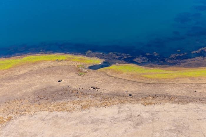
Aerial view of Lake Modewarre shoreline at Modewarre VIC, showing blue water, exposed lakebed and yellow-green vegetation along the shallow edge.
Lake Modewarre shoreline with exposed shoreline, Modewarre VIC
Wurdiboluc VIC 3241
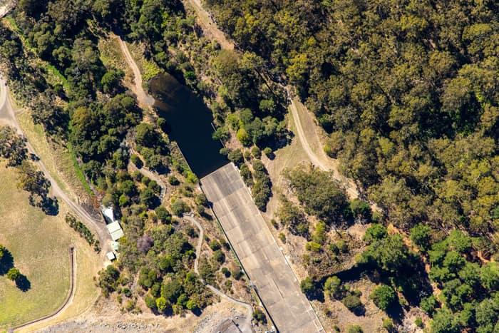
Aerial view of a West Barwon Reservoir inlet or offshoot surrounded by dense bushland and access tracks near Forrest, Victoria.
West Barwon Reservoir inlet and bushland
Forrest VIC 3236
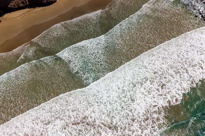
Aerial view of white surf breaking over shallow water beside a sandy beach on the Anglesea coastline in Victoria.
Surf breaking on sandy beach
Anglesea VIC 3230
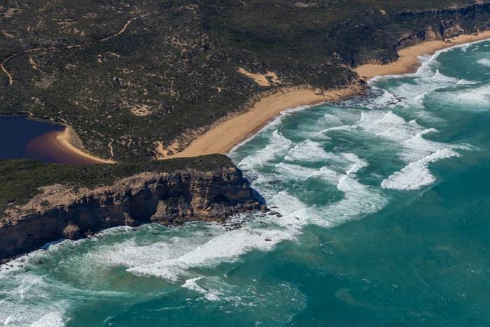
Aerial view of the Princetown coastline with surf breaking onto sandy beaches, a rocky headland, coastal scrub and a dark estuary near Princetown, Victoria.
Princetown coastline and estuary
Princetown VIC 3269
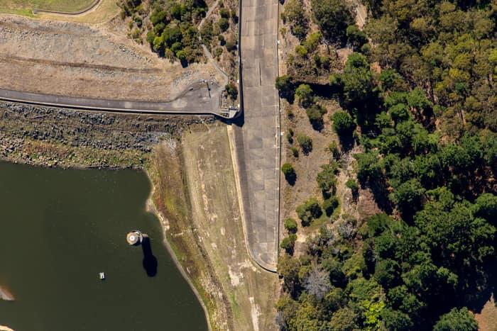
Aerial view of the West Barwon Reservoir dam wall at Forrest, showing the reservoir edge, concrete roadway and surrounding forest.
West Barwon Reservoir dam wall
Forrest VIC 3236
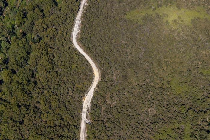
Aerial view of a winding unsealed bush track cutting through dense native vegetation near Carlisle River in the Otway Ranges, Victoria.
Winding bush track
Carlisle River VIC 3239
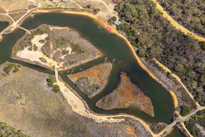
Aerial view of Coogoorah Park and the Anglesea River wetlands in Anglesea VIC, with kayaks on winding waterways, sandy banks, islands, tracks and surrounding bushland.
Coogoorah Park and Anglesea River with kayakers
Anglesea VIC 3230
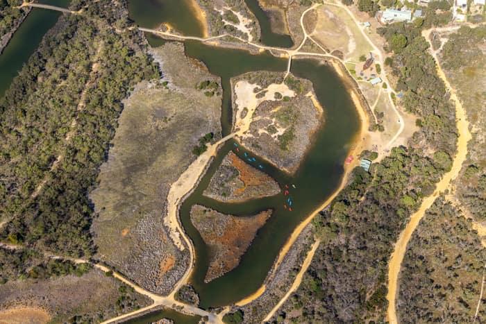
Aerial view of Coogoorah Park wetlands and the Anglesea River channels in Anglesea, Victoria, with walking tracks, sandy banks and surrounding bushland.
Coogoorah Park and Anglesea River with tidal channels
Anglesea VIC 3230
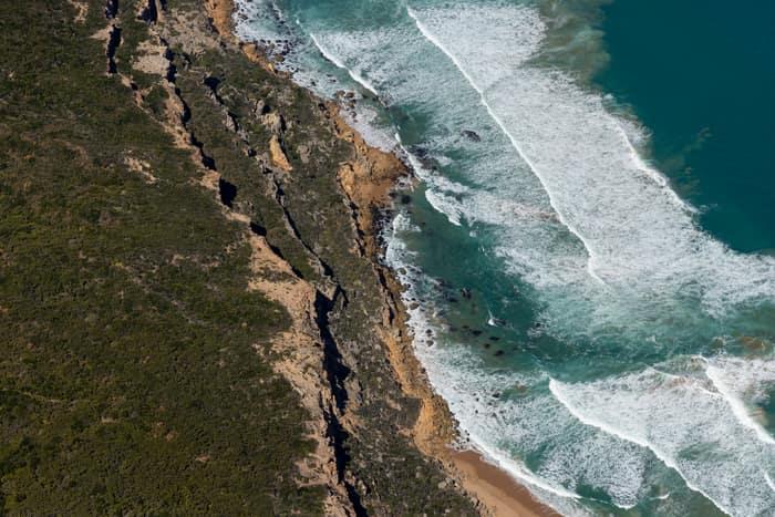
Aerial view of rugged cliffs, coastal scrub, surf and a narrow sandy beach in Port Campbell National Park near Princetown, Victoria.
Port Campbell National Park coastline with beach and surf
Princetown VIC 3269
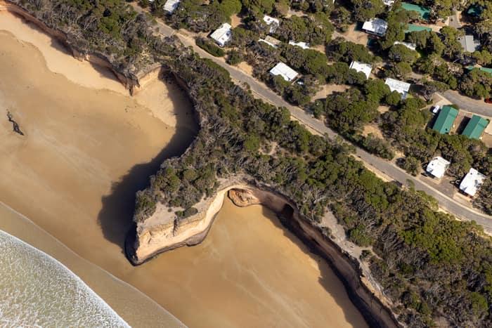
Aerial view of Point Roadknight in Anglesea, showing sandy beach, eroded coastal bluffs, vegetated clifftop and nearby houses along Lubel Street.
Point Roadknight cliffs and beach
Anglesea VIC 3230
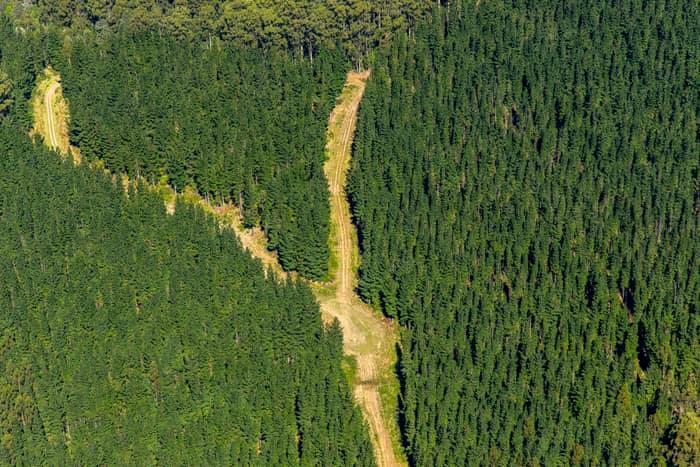
Aerial view of a cleared firebreak and access track cutting through dense pine plantation forest near Beech Forest in the Otway Ranges, Victoria.
Pine plantation firebreak
Beech Forest VIC 3237
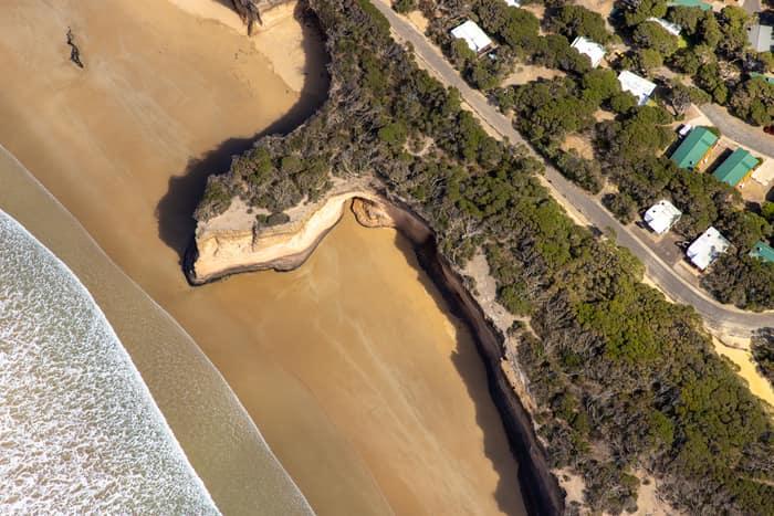
Aerial view of a sandy beach, eroded coastal cliffs, bushland and nearby houses along the Anglesea coastline in Victoria.
Surf Coast beach and eroded cliffs
Anglesea VIC 3230

Aerial view of white surf patterns and deep green Southern Ocean water off Princetown, Victoria.
Southern Ocean surf
Princetown VIC 3269
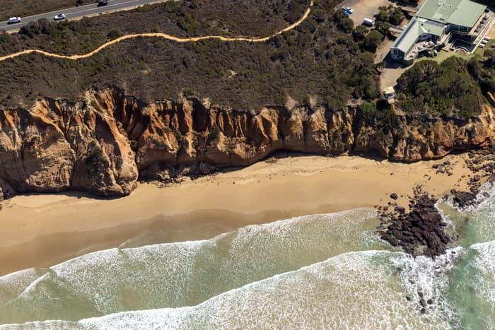
Aerial view of Demons Bluff Beach at Anglesea, showing sandstone cliffs, a narrow sandy beach, rocky shoreline, surf and clifftop houses beside a coastal road.
Demons Bluff Beach cliffs
Anglesea VIC 3230
Aerial view of Bells Beach coastline in Bells Beach VIC, showing surf rolling onto the beach below coastal cliffs under a cloudy golden hour sky.
Bells Beach coastline
Bells Beach VIC 3228
Aerial view of Bunnings Doncaster and the Mercure Melbourne Doncaster beside Westfield Doncaster, showing Doncaster Road, car parks, apartment buildings, traffic and the surrounding retail precinct.
Bunnings Doncaster and Westfield Doncaster aerial view
Doncaster VIC 3108
Aerial view of the sports oval, running track markings and blue hard courts beside Wedge Park Primary School on Cambrian Way in Melton West, Victoria.
Wedge Park Primary School sports oval and courts
Melton West VIC 3337
Aerial view of a soccer field with goalposts, player groups and a surrounding red athletics track near Astor Place in Melton West, Victoria.
Astor Place soccer field and athletics track
Melton West VIC 3337
Aerial view of Pacific Werribee shopping centre beside Heaths Road, with large car parks, surrounding residential streets and parkland in Hoppers Crossing VIC.
Pacific Werribee shopping centre along Heaths Road, Hoppers Crossing VIC
Werribee VIC 3030
Aerial view of Pacific Werribee shopping centre in Werribee, VIC, showing the large retail complex, car parks, surrounding roads and nearby residential streets.
Pacific Werribee shopping centre
Werribee VIC 3030
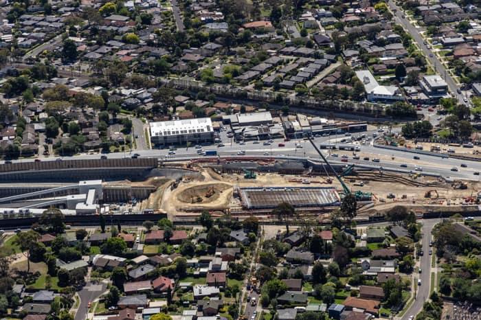
Aerial view of North East Link construction works beside Service Road in Watsonia, with excavation areas, retaining walls, traffic and surrounding suburban streets.
North East Link construction beside Service Road
Watsonia VIC 3087
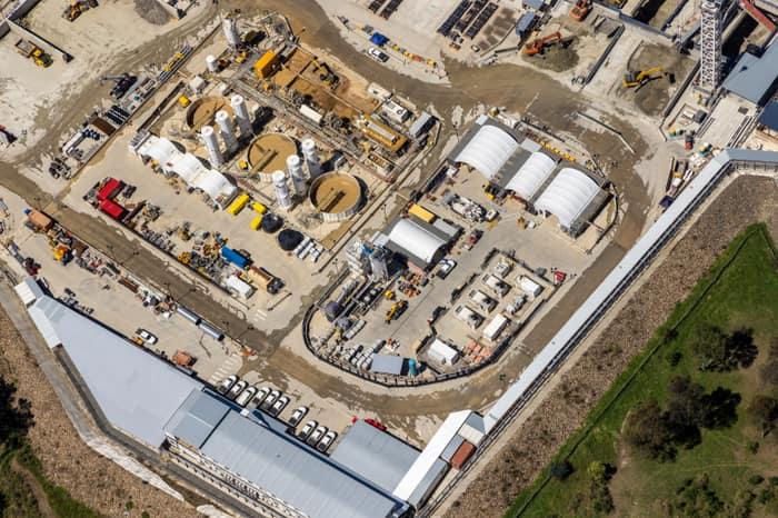
Aerial view of the North East Link construction site in Bulleen showing work sheds, silos, machinery, access roads and equipment within a large compound.
North East Link construction site with temporary buildings and silos
Bulleen VIC 3030
Aerial view of modern residential homes, streets and backyards around Light Horse Circuit in Sunbury, Victoria.
Light Horse Circuit housing estate
Sunbury VIC 3429
Aerial view of homes and townhouse rows near Marsh Crescent in Sunbury VIC, with rooftop solar panels, residential streets and nearby construction land visible.
Marsh Crescent housing estate
Sunbury VIC 3429
Aerial view of four large covered utility process tanks at an industrial infrastructure site in Craigieburn, with access roads, hardstand areas and service vehicles visible.
Covered utility process tanks
Craigieburn VIC 3064
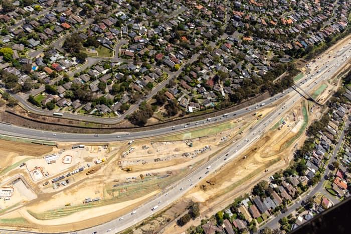
Aerial view of North East Link construction works in Watsonia North, with road lanes, earthworks, machinery, traffic and surrounding residential streets visible.
North East Link construction
Watsonia North VIC 3087
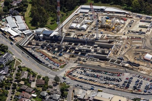
Aerial view of North East Link construction beside Bulleen Road in Bulleen, showing cranes, concrete works, traffic, parking areas and nearby homes.
North East Link construction beside Bulleen Road
Bulleen VIC 3105
Aerial view of Fitzsimons Lane Bridge with the Yarra River in view and traffic passing over the bridge in Templestowe, Victoria.
Aerial view of Fitzsimons Lane Bridge, Yarra River and traffic
Templestowe VIC 3106
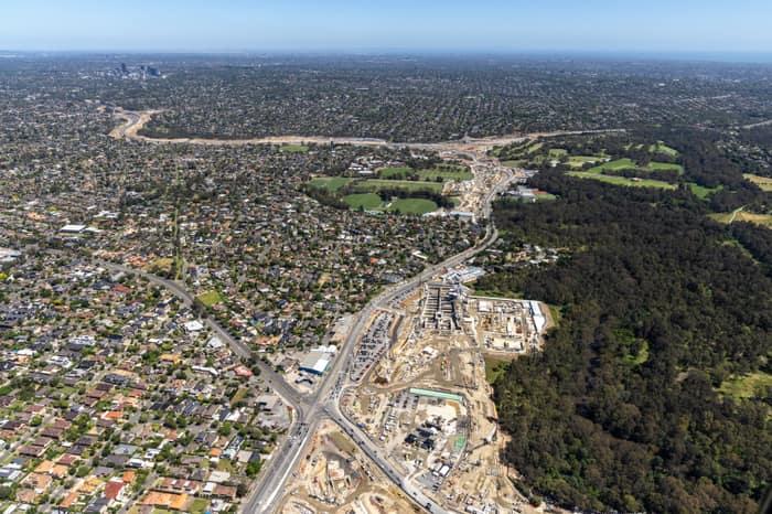
Aerial view of North East Link construction works in Bulleen VIC, with major road works, excavation areas, residential streets and surrounding parkland visible.
North East Link construction beside residential parkland
Bulleen VIC 3105
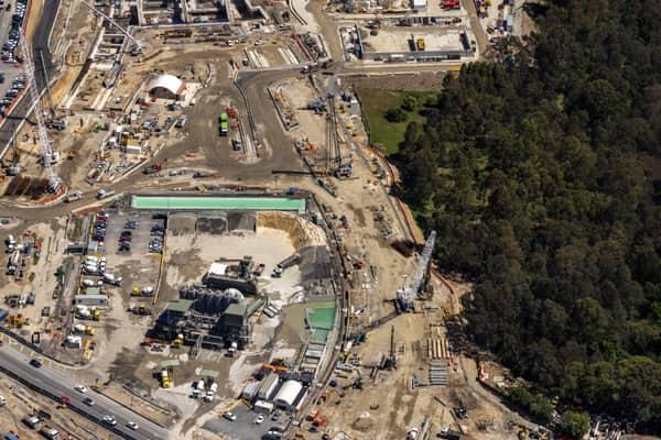
Aerial view of the North East Link construction compound in Bulleen, with cranes, earthworks, equipment yards and adjacent bushland.
North East Link construction compound
Bulleen VIC 3105
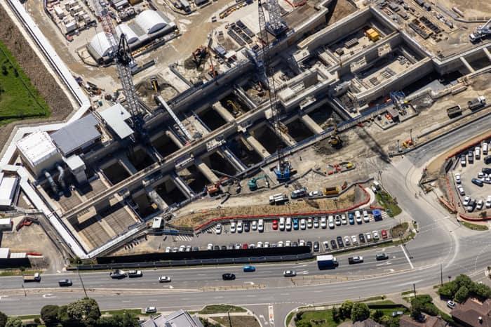
Aerial view of North East Link construction works in Bulleen, showing concrete tunnel and road structures, cranes, work zones, parked vehicles and traffic on the adjoining arterial road.
North East Link construction beside a busy arterial road
Bulleen VIC 3105
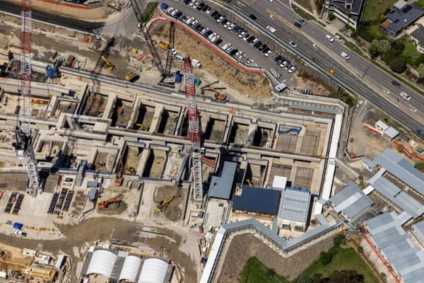
Aerial view of North East Link construction works in Bulleen with cranes, concrete structures, excavators, Bulleen Road traffic and nearby industrial buildings.
North East Link construction and Bulleen Road with road traffic
Bulleen VIC 3105
Aerial view of Westfield Doncaster shopping centre with rooftop car parks, surrounding apartment buildings, Doncaster Road and suburban streets in Doncaster, Victoria.
Westfield Doncaster shopping centre with rooftop parking
Doncaster VIC 3108
Aerial view of Westfield Doncaster in Doncaster VIC, showing rooftop parking, surrounding commercial buildings, Doncaster Road traffic and nearby intersections.
Westfield Doncaster shopping centre with arterial roads
Doncaster VIC 3108
Aerial view of green suburban parkland with a tennis court, surrounding homes and tree-lined streets in Doncaster East, Victoria.
Suburban parkland and homes
Doncaster East VIC 3109
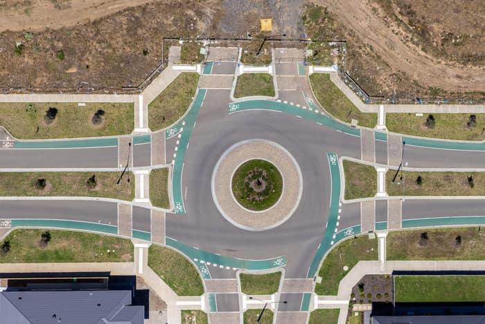
Aerial view of a landscaped roundabout with bike lanes, pedestrian crossings, footpaths and surrounding residential lots in Mickleham, Victoria.
Residential estate roundabout
Mickleham VIC 3064
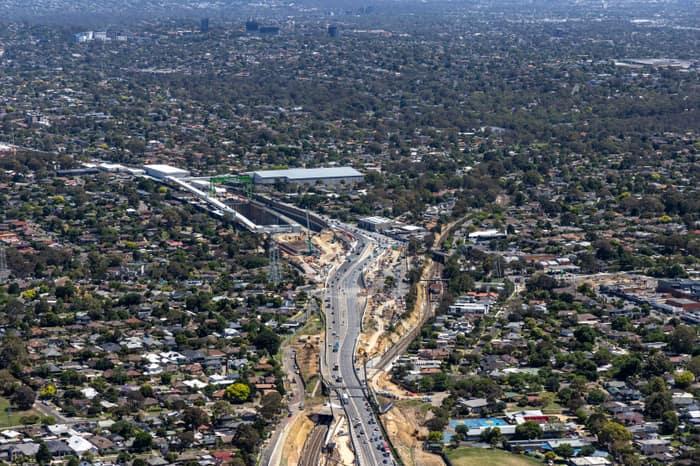
Aerial view of North East Link construction works along Greensborough Road in Watsonia, with traffic, earthworks and surrounding suburban homes.
North East Link construction around Greensborough Road
Watsonia VIC 3087
Aerial view of the Epping railway stabling yard in Epping VIC, with multiple suburban trains parked on parallel tracks beside Railway Road and industrial buildings.
Epping railway stabling yard
Epping VIC 3076
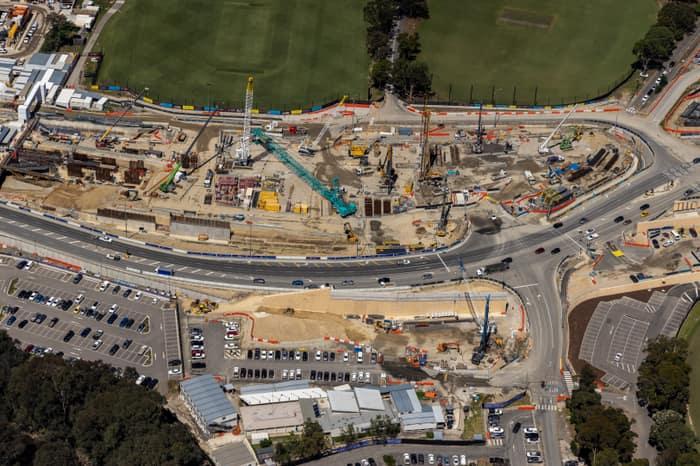
Aerial view of North East Link construction works along Bulleen Road in Bulleen, with cranes, roadworks, traffic lanes, car parks and sports fields visible.
North East Link works along Bulleen Road
Bulleen VIC 3105
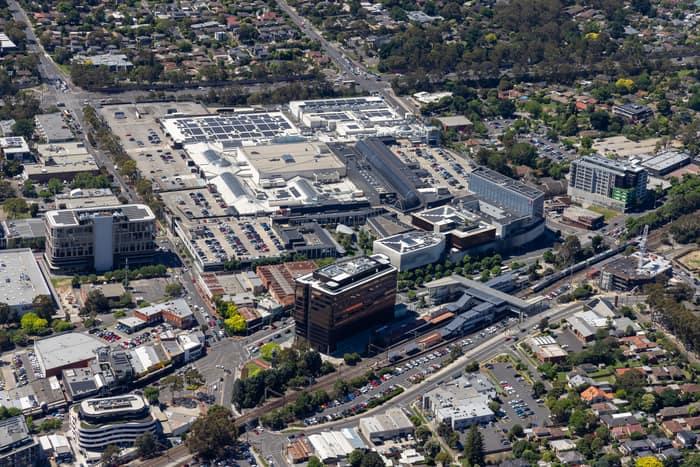
Aerial view of Eastland Shopping Centre in Ringwood VIC, showing the large retail complex, rooftop areas, car parks, surrounding roads, nearby offices and the Ringwood Station rail corridor.
Eastland Shopping Centre
Ringwood VIC 3134
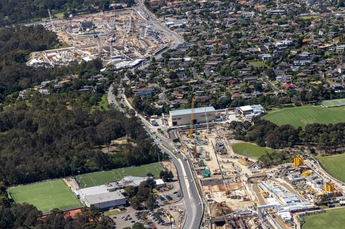
Aerial view of North East Link construction works along Bulleen Road in Bulleen, with cranes, work compounds, sports fields, bushland and surrounding residential streets visible.
North East Link construction and Bulleen Road by recreation grounds
Bulleen VIC 3105
Aerial view of the Hollington Drive housing estate in Mickleham VIC, showing modern suburban homes, rooftop solar panels, residential streets, parked cars and vacant lots.
Hollington Drive housing estate
Mickleham VIC 3064
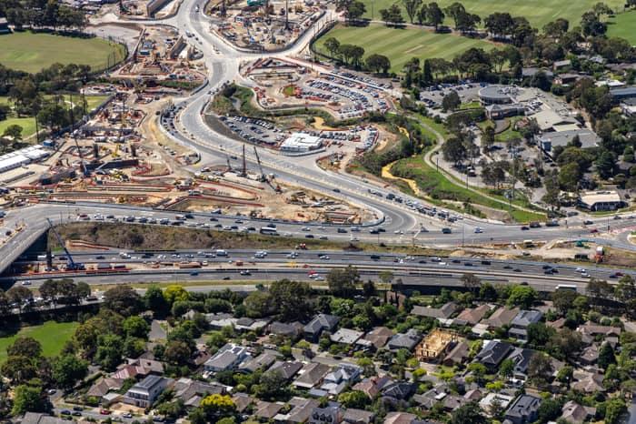
Aerial view of North East Link construction works beside the Eastern Freeway in Balwyn North, with traffic, roadworks, residential streets and sports fields visible.
North East Link construction
Balwyn North VIC 3104
Aerial view of Westfield Doncaster beside the Doncaster Road and Williamsons Road intersection, with traffic, car parks and surrounding commercial buildings visible.
Westfield Doncaster and Doncaster Road intersection
Doncaster VIC 3108
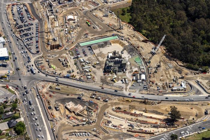
Aerial view of North East Link construction works in Bulleen, with major roadworks, cranes, machinery, site compounds and traffic on surrounding arterial roads.
North East Link construction along the Bulleen road corridor
Bulleen VIC 3105
Aerial view of modern houses, vacant lots and local streets around Chilworth Street in Donnybrook VIC.
Chilworth Street housing estate
Donnybrook VIC 3064
Aerial view of Pacific Werribee shopping centre in Hoppers Crossing, showing large retail buildings, car parks, surrounding suburban streets and residential neighbourhoods.
Pacific Werribee shopping centre with car parks, Hoppers Crossing VIC
Werribee VIC 3030
Aerial view of modern houses, driveways and a small roundabout in the Bethnal Avenue residential estate in Wollert, Victoria.
Bethnal Avenue residential estate
Wollert VIC 3750
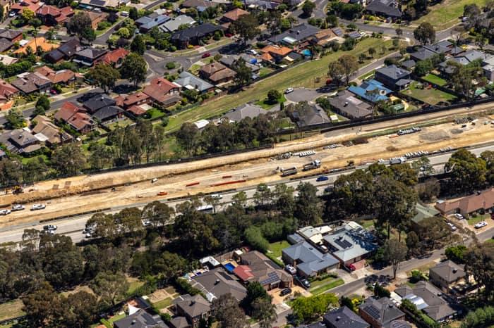
Aerial view of the North East Link construction corridor running beside suburban homes in Watsonia North, Victoria.
North East Link construction corridor
Watsonia North VIC 3087
Aerial view of residential homes along Haldon Avenue in Mickleham VIC, showing modern roofs, driveways, street trees and parked cars.
Haldon Avenue residential homes
Mickleham VIC 3064
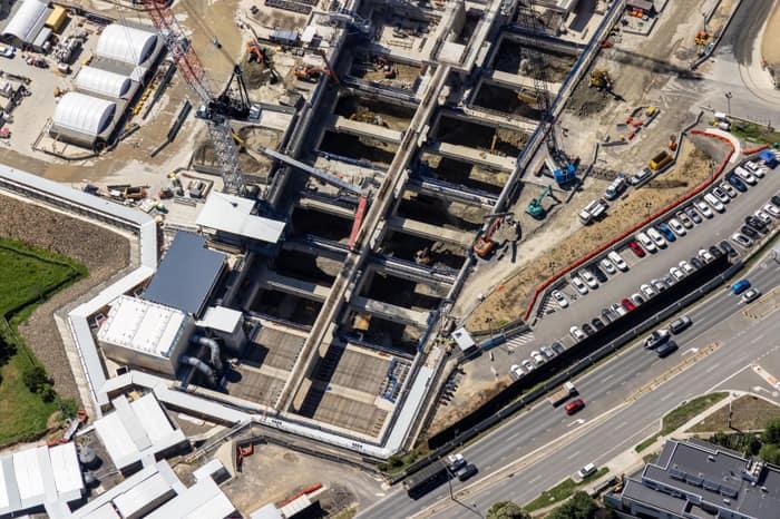
Aerial view of the North East Link construction site beside Bulleen Road in Bulleen, showing excavated concrete works, cranes, machinery, parked vehicles and traffic.
North East Link construction beside Bulleen Road with excavation
Bulleen VIC 3105
Aerial view of a Murray River bend winding through dense riverside woodland and surrounding farmland at Cobram East, Victoria.
Murray River bend beside cleared paddocks
Cobram East VIC 3644
Aerial view of a Murray River bend with a sandy point, river red gum woodland and farmland near Cobram East, Victoria.
Murray River bend through river red gum woodland
Cobram East VIC 3644
Aerial view of a Murray River bend winding through dense river red gum forest beside open farmland at Cobram East in northern Victoria.
Murray River bend through red gum forest
Cobram East VIC 3644
Aerial view of a broad bend in the Murray River winding through dense woodland and surrounding farmland at Boomanoomana NSW.
Murray River bend beside agricultural paddocks
Boomanoomana NSW 2712
Aerial view of the Murray River curving around a sandy point bar amid dense riparian woodland at Cobram East, Victoria.
Murray River point bar
Cobram East VIC 3644
Aerial view of a winding Murray River bend surrounded by dense riparian woodland at Boomanoomana, New South Wales.
Murray River bend through dense native woodland
Boomanoomana NSW 2712
Aerial view of the Murray River curving through dense river red gum woodland and farmland at Boomanoomana, New South Wales.
Murray River woodland
Boomanoomana NSW 2712
Aerial view of a Murray River bend winding through dense river red gum woodland with farmland beyond near Cobram East, Victoria.
Murray River bend with a sandy point bar
Cobram East VIC 3644
Aerial view of a Murray River bend winding through dense river red gum woodland and nearby farmland at Boomanoomana NSW.
Murray River bend through river red gum woodland
Boomanoomana NSW 2712
Aerial view of irrigated orchard rows divided by a central farm access track near Cobram in northern Victoria.
Orchard rows and farm track
Cobram VIC 3644
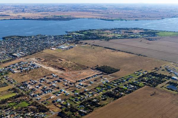
Aerial view of residential subdivision works and lakeside housing beside Lake Mulwala in Yarrawonga, Victoria.
Lake Mulwala residential subdivision
Yarrawonga VIC 3730
Aerial view of a winding Murray River bend bordered by dense river red gum woodland near Boomanoomana in New South Wales.
Murray River bend in Berrigan Shire
Boomanoomana NSW 2712
Aerial view of a Murray River bend with a sandy point bar and dense river red gum woodland near Cobram East, Victoria.
Murray River bend with a pale sandbar
Cobram East VIC 3644
Aerial view of the Murray River curving through dense river red gum woodland and surrounding farmland near Cobram East, Victoria.
Murray River bend beside farmland and woodland
Cobram East VIC 3644
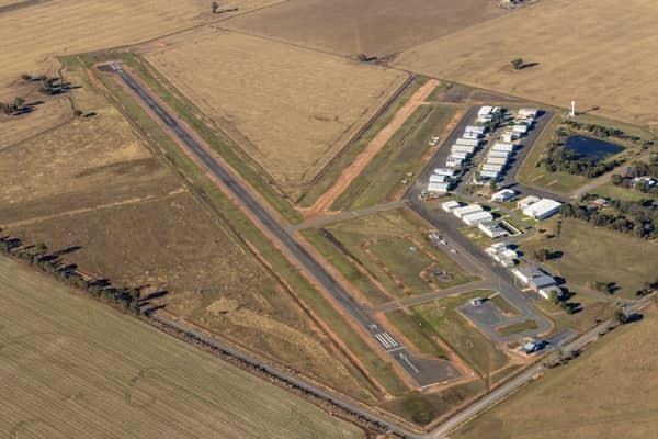
Aerial view of Yarrawonga Airport in Yarrawonga VIC, showing the runway, taxiways, hangars, apron areas and surrounding rural farmland.
Yarrawonga Airport runway and hangars
Yarrawonga VIC 3730
Aerial view of a meandering river bordered by dense woodland and surrounding farmland near Boomanoomana in New South Wales.
Meandering river and woodland
Boomanoomana NSW 2712
Aerial view of a winding river bend bordered by dense woodland near Boomanoomana in New South Wales.
Wooded river bend
Boomanoomana NSW 2712
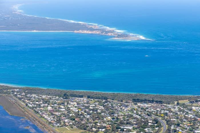
Aerial view of Point Lonsdale residential streets and coastal vegetation beside blue water, with Point Nepean visible across Port Phillip Bay.
Point Lonsdale coastline
Point Lonsdale VIC 3225
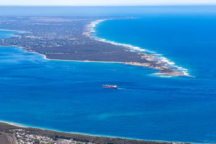
Aerial view of Port Phillip Heads and Point Nepean from Point Lonsdale, with a cargo ship crossing blue water between the coastline and surf beaches.
Port Phillip Heads and Point Nepean
Point Lonsdale VIC 3225
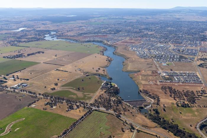
Aerial view of Melton Reservoir and the Werribee River near Melton VIC, with farmland, new housing estates and rural roads surrounding the water.
Melton Reservoir and Werribee River
Melton VIC 3337
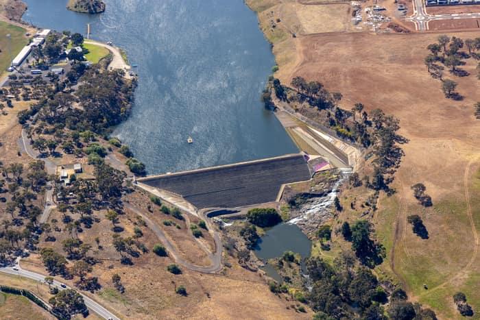
Aerial view of the Melton Reservoir dam wall and spillway near Mount Cottrell Road in Melton, Victoria, with surrounding dry farmland, trees and nearby development.
Melton Reservoir dam wall
Melton VIC 3337
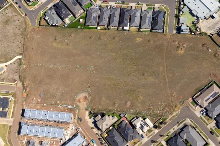
Aerial view of a vacant residential development site beside Agate Drive in Tarneit, Victoria, surrounded by new houses, roads and construction activity.
Agate Drive residential development site
Tarneit VIC 3029
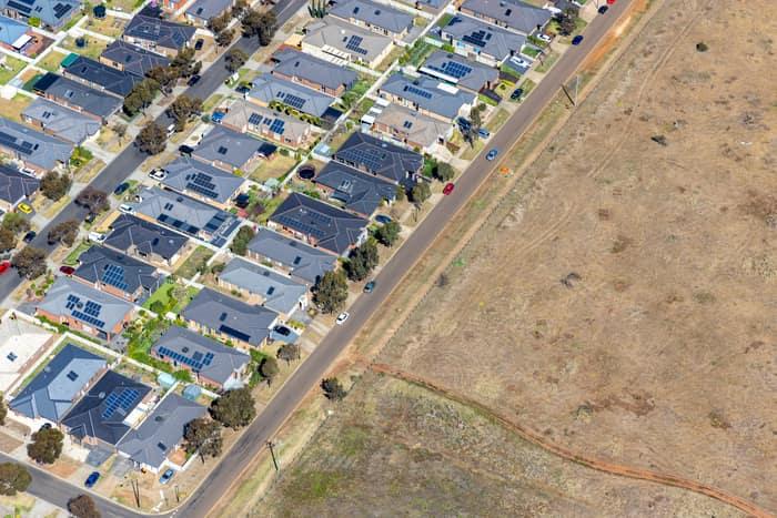
Aerial view of a Brookfield residential estate with solar-panelled houses beside a road and adjoining vacant dry grassland in Victoria.
Brookfield residential estate and vacant land
Brookfield VIC 3338
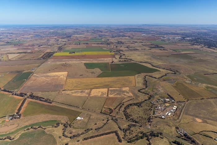
Aerial view of farmland and paddocks around Mount Cottrell Road in Melton, Victoria, with rural properties, access roads and dry agricultural land stretching to the horizon.
Mount Cottrell Road farmland
Melton VIC 3337
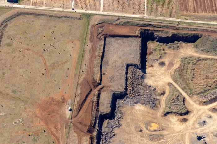
Aerial view of a quarry excavation beside rural paddocks and farm tracks near Mount Cottrell Road in Melton, Victoria.
Quarry excavation and paddocks
Melton VIC 3337
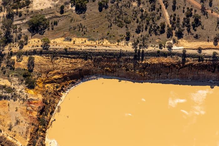
Aerial view of a muddy water storage dam edged by exposed earthworks, dirt tracks and scattered rural vegetation in Melton, Victoria.
Water storage dam and earthworks
Melton VIC 3337
Aerial view of Painkalac Creek winding through estuary wetlands beside coastal housing, bushland and the Surf Coast shoreline at Aireys Inlet and Fairhaven in Victoria.
Painkalac Creek estuary, Aireys Inlet VIC
Fairhaven VIC 3231
Aerial view of Anglesea coastal cliffs above Bass Strait, with surf breaking along the shore, clifftop walking tracks and scrubland on Victoria's Surf Coast.
Anglesea coastal cliffs and Bass Strait
Anglesea VIC 3230
Aerial view of the Anglesea coastline in Victoria with blue ocean, coastal heathland, walking tracks and residential streets near Simmons Court.
Anglesea coastline and residential streets
Anglesea VIC 3230
Aerial view of Painkalac Creek, Split Point Lighthouse and the surrounding Aireys Inlet and Fairhaven coastline in Victoria.
Painkalac Creek and Split Point Lighthouse, Aireys Inlet VIC
Fairhaven VIC 3231
Aerial view of Split Point Lighthouse and Eagle Rock at Aireys Inlet, showing coastal homes, turquoise ocean, beaches and the nearby creek estuary.
Split Point Lighthouse and Eagle Rock near Painkalac Creek
Aireys Inlet VIC 3231
Aerial view of Apollo Bay township and coastline in Victoria, with farmland, rural properties, a farm dam, beaches and blue ocean around the harbour.
Apollo Bay township and coastline
Apollo Bay VIC 3233
Aerial view of the Torquay coastline with residential neighbourhoods, dry farmland and the blue waters of Bass Strait in Surf Coast Victoria.
Torquay coastline and farmland
Torquay VIC 3228
Aerial view of Fishermans Beach and The Esplanade at Torquay, with beachfront homes, resort buildings, coastal road, sandy shoreline and blue water.
Fishermans Beach and The Esplanade
Torquay VIC 3228
Aerial view of Apollo Bay Harbour, the coastal township, beaches, residential streets and farmland beside the Southern Ocean in Apollo Bay, Victoria.
Apollo Bay Harbour and township
Apollo Bay VIC 3233
Aerial view of Apollo Bay Harbour, the marina breakwaters, residential streets and coastline at Apollo Bay on Victoria's Great Ocean Road.
Apollo Bay Harbour and township with marina berths
Apollo Bay VIC 3233
Aerial view of Split Point Lighthouse and Eagle Rock on the Aireys Inlet coastline, with coastal homes, roads, beach and blue ocean surrounding the headland.
Split Point Lighthouse and Eagle Rock above coastal beach
Aireys Inlet VIC 3231
Aerial view of Anglesea coastline, residential streets, bushland reserves and ocean surf in Anglesea, Victoria.
Anglesea coastline and residential area
Anglesea VIC 3230
Aerial view of the Anglesea River mouth, Anglesea Beach, coastal township, ocean shoreline and surrounding streets in Anglesea, Victoria.
Anglesea River mouth and beach
Anglesea VIC 3230
Aerial view of the Anglesea River mouth meeting the surf at Anglesea Beach, with Great Ocean Road, township streets, car parks and coastal vegetation in Anglesea, Victoria.
Anglesea River mouth and Anglesea Beach
Anglesea VIC 3230
Aerial view of Apollo Bay Beach, coastal homes, residential streets, open paddocks and light industrial buildings in Apollo Bay, Victoria.
Apollo Bay Beach and residential streets
Apollo Bay VIC 3233
Aerial view of Apollo Bay Harbour, the coastline and surrounding township streets and homes in Apollo Bay, Victoria.
Apollo Bay Harbour and township with curved beach
Apollo Bay VIC 3233
Aerial view of Anglesea Water Reclamation Plant with treatment ponds and utility buildings set among coastal vegetation near the Bass Strait shoreline in Anglesea, Victoria.
Anglesea Water Reclamation Plant
Anglesea VIC 3230
Aerial view of Anglesea cliffs beside Bass Strait, with turquoise water, breaking waves, coastal scrub, walking tracks and nearby houses in Anglesea VIC.
Anglesea cliffs and Bass Strait coastline
Anglesea VIC 3230
Aerial view of Apollo Bay coastline with farmland, township areas, a small reservoir and the blue ocean in Apollo Bay, Victoria.
Apollo Bay coastline and farmland
Apollo Bay VIC 3233
Aerial view of the Anglesea coastline with residential estates, coastal bushland, access tracks and blue ocean water in Anglesea, Victoria.
Anglesea coastline and residential estates
Anglesea VIC 3230
Aerial view of Torquay VIC showing the coastline, ocean, residential estates, farmland and green creek corridor.
Torquay coastline and residential estates
Torquay VIC 3228
Aerial view of Fairhaven Beach in Fairhaven VIC, showing the surf coastline, residential streets, coastal bushland and blue ocean along the Great Ocean Road region.
Fairhaven Beach coastline
Fairhaven VIC 3231
Aerial view of a dark woodland lake surrounded by dense bushland near Moggs Creek, with Surf Coast coastline and ocean visible in the distance.
Woodland lake and coastline
Moggs Creek VIC 3231
Aerial view of the Anglesea ocean cliffs beside Bass Strait, with turquoise surf, wave lines, coastal heathland and sandy walking tracks in Anglesea Victoria.
Anglesea ocean cliffs and Bass Strait
Anglesea VIC 3230
Aerial view of Apollo Bay township and harbour beside the curved coastline, with farmland, a water storage pond and residential areas in Colac Otway, Victoria.
Apollo Bay township and harbour
Apollo Bay VIC 3233
Aerial view of the Big Prawn beside Bunnings Warehouse in West Ballina, with canals, homes and the Richmond River in the background.
Big Prawn and Bunnings West Ballina, NSW
West Ballina NSW 2478
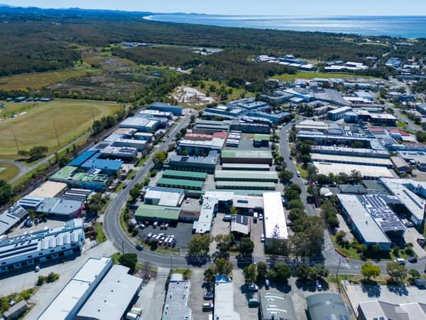
Aerial view of the Centennial Circuit industrial estate in Byron Bay, with warehouses, commercial buildings, parked vehicles, surrounding bushland and the coastline in the background.
Centennial Circuit industrial estate
Byron Bay NSW 2481
Aerial view of the Jewel Gold Coast towers on the Surfers Paradise beachfront with high-rise buildings, beach sand and inland Gold Coast waterways behind.
Jewel Gold Coast towers
Surfers Paradise QLD 4217
Aerial view of waterfront apartments and streets beside Pumicestone Passage in central Caloundra, Queensland.
Pumicestone Passage waterfront
Caloundra QLD 4551
Aerial view of road construction along Gympie Connection Road in Victory Heights, Queensland, with earthworks, vehicles, bushland and nearby properties.
Gympie Connection Road construction
Victory Heights QLD 4570
Aerial view of rows of green-roofed storage units and concrete driveways in Harristown, Toowoomba, Queensland.
Green-roofed storage units
Harristown QLD 4350
Aerial view of light aircraft parked on the apron and grass beside hangars at Caloundra Airport in Caloundra West, Queensland.
Caloundra Airport aircraft apron
Caloundra West QLD 4551
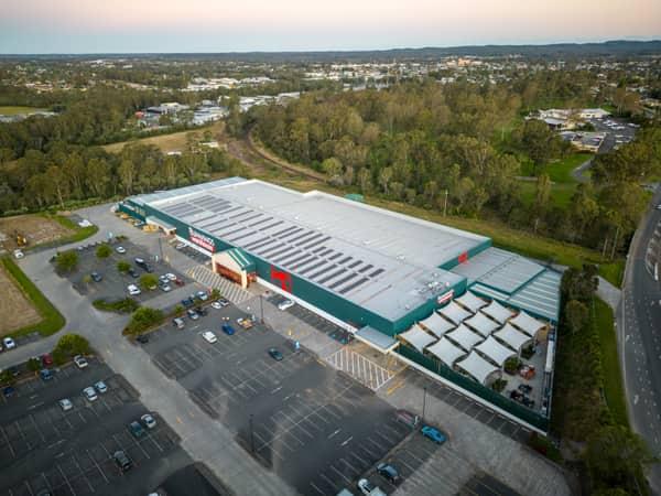
Aerial view of Bunnings Warehouse Taree on Wingham Road with car parking, surrounding trees and nearby commercial areas in Taree NSW.
Bunnings Warehouse Taree
Taree NSW 2430
Aerial view of a small farm dam with green algae beside exposed earthworks and surrounding paddocks near Bannockburn, Victoria.
Farm dam and farmland
Bannockburn VIC 3331
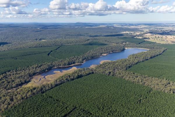
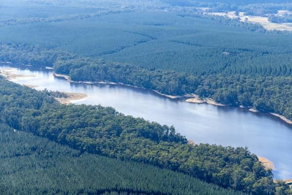
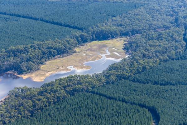
Aerial view of Bostock Reservoir near Barkstead, showing the reservoir water, exposed shallow edges, surrounding forest and plantation country.
Bostock Reservoir forested shoreline
Barkstead VIC 3364
View project record →
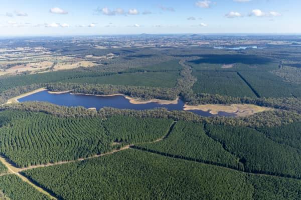
Aerial view of Bostock Reservoir with forested shoreline and pine plantations near Spargo Creek, Victoria.
Bostock Reservoir
Spargo Creek VIC 3461
View project record →
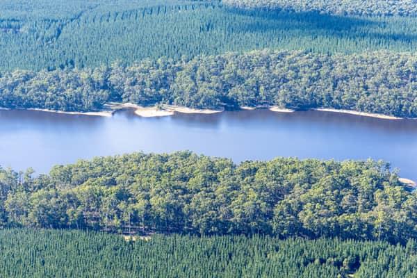
Aerial view of Bostock Reservoir at Spargo Creek, showing the forested shoreline, shallow inlet areas and surrounding pine plantations and farmland.
Bostock Reservoir shoreline
Spargo Creek VIC 3461
View project record →
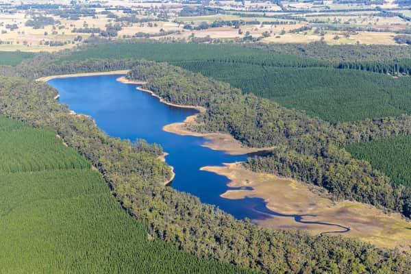
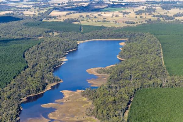
Aerial view of Bostock Reservoir at Spargo Creek, with blue water, exposed shoreline, surrounding native bushland and pine plantations.
Bostock Reservoir shoreline and pine plantations
Spargo Creek VIC 3461
View project record →
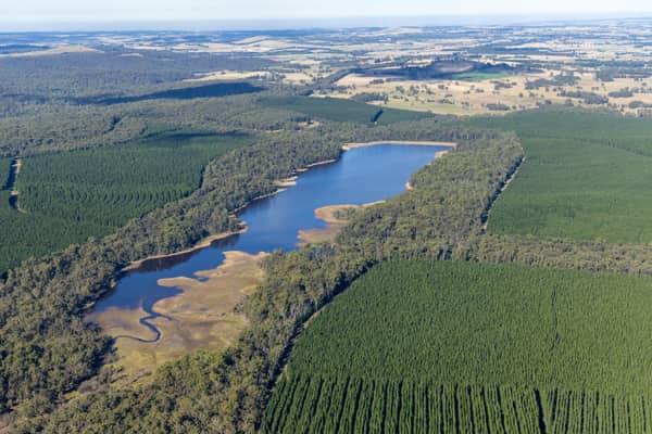
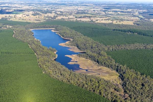
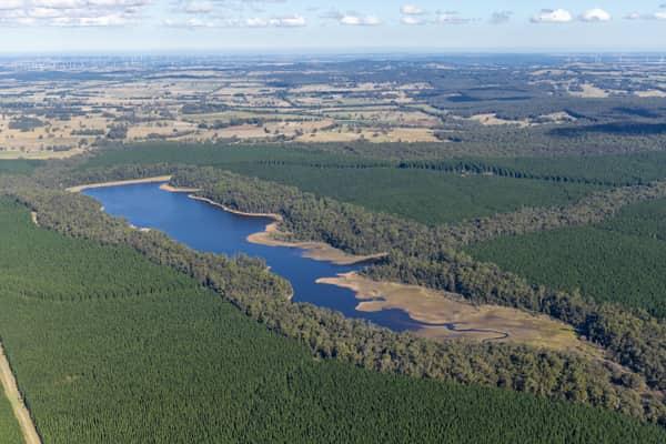
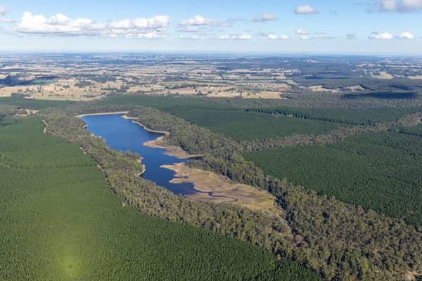
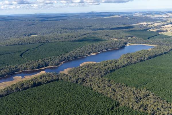
Aerial view of a long inlet of Bostock Reservoir at Spargo Creek, with exposed shoreline, native bushland, pine plantation forest and rural farmland beyond.
Bostock Reservoir inlet
Spargo Creek VIC 3461
View project record →
Aerial view of Bostock Reservoir at Bolwarrah, Victoria, showing a narrow forested inlet, reservoir shoreline and surrounding plantation forestry.
Bostock Reservoir forested inlet
Bolwarrah VIC 3352
View project record →
Aerial view of Bostock Reservoir near Spargo Creek, showing the reservoir inlet, irregular shoreline and surrounding plantation forest.
Bostock Reservoir inlet and plantation forest
Spargo Creek VIC 3461
View project record →
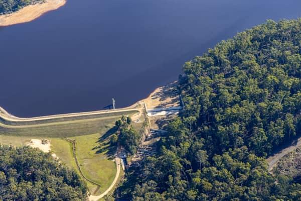
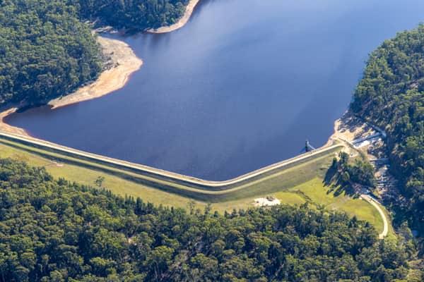
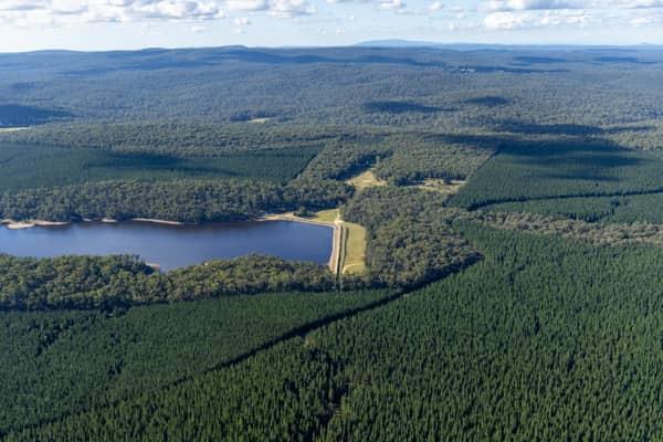
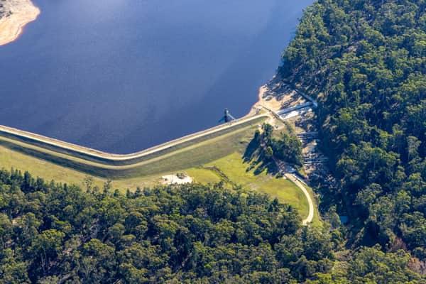
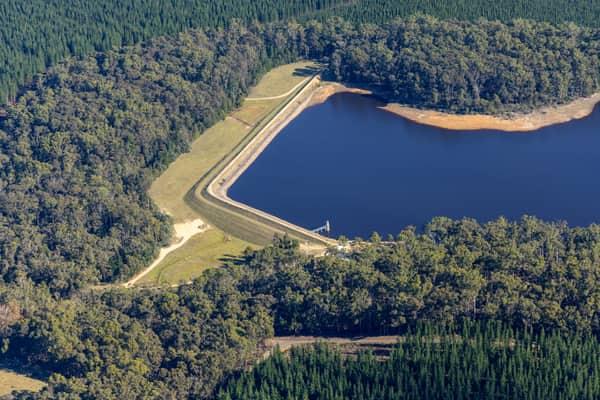
Aerial view of Bostock Reservoir dam wall and water storage surrounded by forest and plantation near Spargo Creek, Victoria.
Bostock Reservoir dam wall
Spargo Creek VIC 3461
View project record →
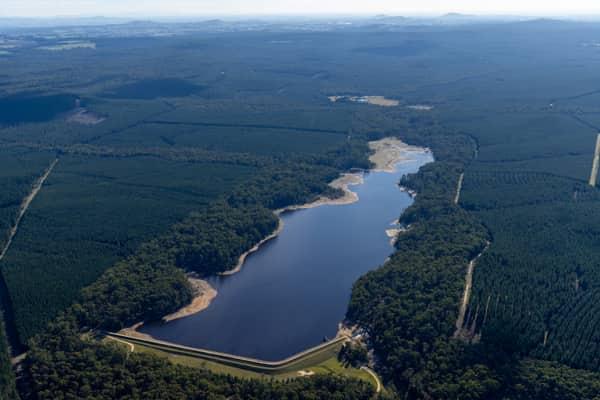
Aerial view of Bostock Reservoir at Spargo Creek, with dark water bordered by forest, pine plantations, access tracks and surrounding rural land.
Bostock Reservoir amid pine plantations
Spargo Creek VIC 3461
View project record →
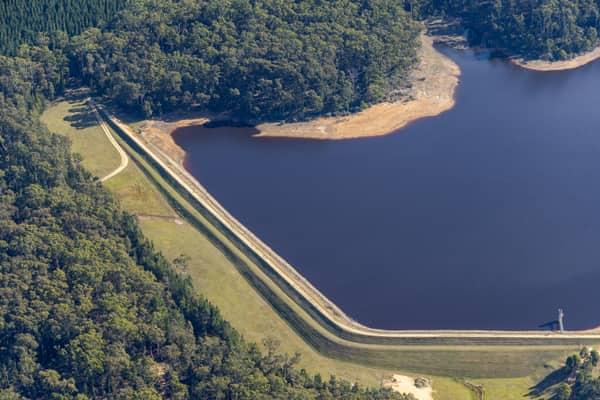
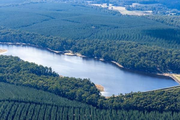
Aerial view of Bostock Reservoir at Spargo Creek, showing the dam embankment, dark water, exposed shoreline and surrounding forest.
Bostock Reservoir shoreline and embankment
Spargo Creek VIC 3461
View project record →
Aerial view of GMHBA Stadium and Kardinia Park in South Geelong with tower cranes, construction works, grandstands and surrounding sports fields visible.
GMHBA Stadium crane works
South Geelong VIC 3220
View project record →
Aerial view of Bostock Reservoir near Spargo Creek, showing shallow inlet wetlands, surrounding bushland, plantation forest and rural farmland beyond.
Bostock Reservoir inlet wetlands
Spargo Creek VIC 3461
View project record →
Aerial view of Bostock Reservoir at Spargo Creek, showing the long grassed dam crest, dark reservoir water, exposed shoreline and surrounding forest.
Bostock Reservoir dam crest
Spargo Creek VIC 3461
View project record →
Aerial view of Bostock Reservoir at Spargo Creek, with blue water, exposed shoreline, surrounding native forest and plantation country.
Bostock Reservoir inlet and forest
Spargo Creek VIC 3461
View project record →
Aerial view of Bostock Reservoir in Bunding, Victoria, showing the dam wall, curving shoreline and surrounding forest plantations.
Bostock Reservoir shoreline and dam
Bunding VIC 3342
View project record →
Aerial view of Bostock Reservoir showing the dam wall, spillway works, access track and forested shoreline at Bunding, Victoria.
Bostock Reservoir dam wall
Bunding VIC 3342
View project record →
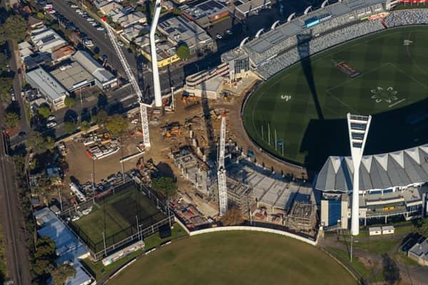
Aerial view of GMHBA Stadium at Kardinia Park in South Geelong, showing the oval, seating bowl, light towers and a construction zone with cranes beside one stand.
GMHBA Stadium stand construction
South Geelong VIC 3220
View project record →
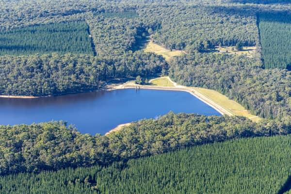
Aerial view of Bostock Reservoir at Bolwarrah, showing the dam wall, blue water storage, surrounding forest and pine plantation.
Bostock Reservoir dam wall
Bolwarrah VIC 3352
View project record →
Aerial view of Bostock Reservoir near Bolwarrah, showing a narrow inlet, exposed pale shoreline, surrounding forest and plantation blocks.
Bostock Reservoir forested shoreline
Bolwarrah VIC 3352
View project record →
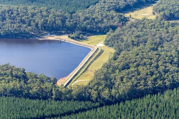
Aerial view of Bostock Reservoir at Spargo Creek VIC, showing the curved dam wall, outlet area, dark water and surrounding forest.
Bostock Reservoir outlet and dam wall
Spargo Creek VIC 3461
View project record →
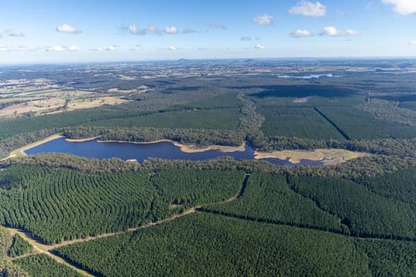
Aerial view of Bostock Reservoir at Spargo Creek VIC, showing the blue reservoir inlet bordered by forest, pine plantations and surrounding rural land.
Bostock Reservoir inlet and plantations
Spargo Creek VIC 3461
View project record →
Aerial view of GMHBA Stadium at Kardinia Park in South Geelong VIC, showing the oval, grandstands, light towers, surrounding streets and nearby construction works.
GMHBA Stadium with oval and light towers
South Geelong VIC 3220
View project record →
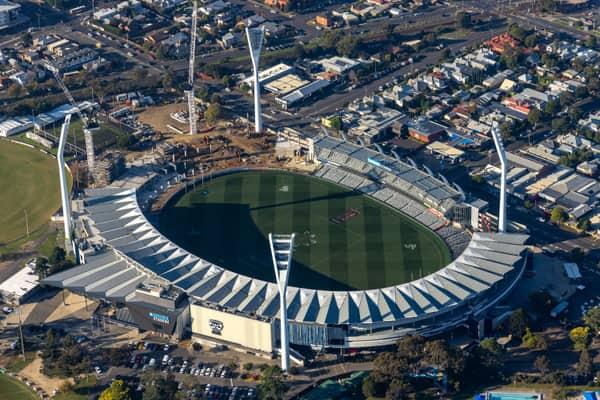
Aerial view of GMHBA Stadium at Kardinia Park in South Geelong, showing construction cranes and earthworks beside the stadium with surrounding streets and housing.
GMHBA Stadium construction cranes
South Geelong VIC 3220
View project record →
Aerial view of GMHBA Stadium at Kardinia Park in South Geelong with cranes, construction works, existing stands and the oval playing surface visible.
GMHBA Stadium grandstand works
South Geelong VIC 3220
View project record →
Aerial view of Bostock Reservoir at Spargo Creek VIC, showing the dam wall or spillway beside the water storage and surrounding pine forest.
Bostock Reservoir spillway and forest
Spargo Creek VIC 3461
View project record →
Aerial view of Bostock Reservoir with a narrow shoreline surrounded by dense forest and plantation land near Bolwarrah, Victoria.
Bostock Reservoir shoreline
Bolwarrah VIC 3352
View project record →
Aerial view of Bostock Reservoir at Spargo Creek, showing the water storage surrounded by dense forest, plantation rows and a visible dam wall.
Bostock Reservoir
Spargo Creek VIC 3461
View project record →
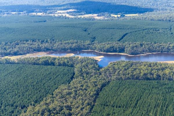
Aerial view of the Bostock Reservoir inlet shoreline near Spargo Creek, Victoria, with exposed lakebed margins surrounded by dense forest and plantation blocks.
Bostock Reservoir inlet shoreline
Spargo Creek VIC 3461
View project record →
Aerial view of GMHBA Stadium at Kardinia Park in South Geelong, showing the oval, grandstands, light towers, surrounding streets and nearby parkland.
GMHBA Stadium oval and grandstands
South Geelong VIC 3220
View project record →
Aerial view of Bostock Reservoir in Bunding VIC, showing the curved dam embankment, reservoir water, shoreline tracks and surrounding forest.
Bostock Reservoir embankment and shoreline
Bunding VIC 3342
View project record →
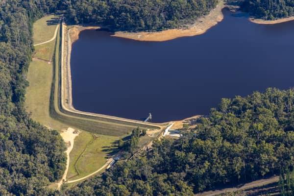
Aerial view of Bostock Reservoir at Spargo Creek, showing the earth embankment, access road, outlet structure, dark water and surrounding forest.
Bostock Reservoir embankment and shoreline
Spargo Creek VIC 3461
View project record →
Aerial view of Webb Dock East container terminal at Port Melbourne in February 2022, with container stacks, ship-to-shore cranes, working berths and Port Phillip Bay.
Webb Dock container terminal aerial view
Port Melbourne VIC 3207
View project record →
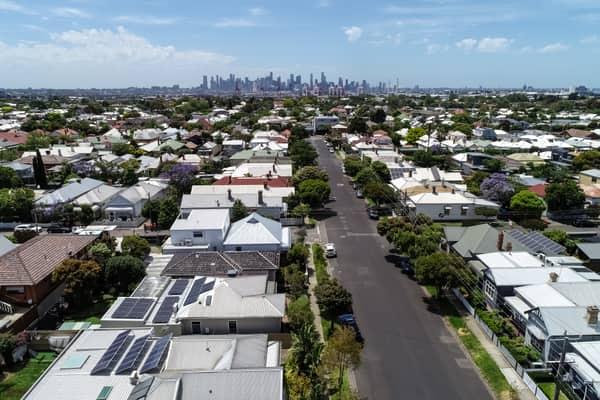
Aerial view over residential streets and rooftops in Yarraville, with the Melbourne CBD skyline visible in the background.
Yarraville residential streets with Melbourne CBD skyline, VIC
Melbourne Victoria
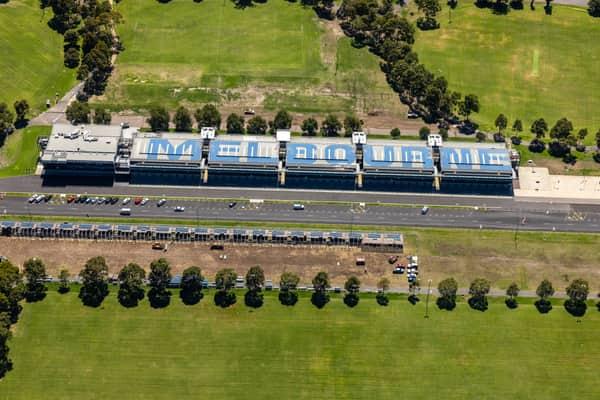
Aerial view of the Albert Park Circuit pit building beside Aughtie Drive in Albert Park, with MELBOURNE roof lettering, parked cars and surrounding sports fields.
Albert Park Circuit pit building, Albert Park VIC
Melbourne Victoria
Aerial view of abstract sand, tidal debris and dark shoreline patterns on Inverloch Beach beside Bass Strait in Victoria.
Borrowed Particles Bass Strait shoreline
Inverloch VIC 3996
Aerial view of the southern Tweed River entrance training wall beside Fingal Head, with rock armour, access track and turquoise ocean water on the New South Wales north coast.
Fingal Head breakwater
Fingal Head NSW 2487
Aerial view of the GrainCorp Moree grain terminal, showing concrete silos, bulk grain storage shed and rail siding in Moree, New South Wales.
GrainCorp Moree grain terminal
Moree NSW 2400
Aerial view of farmland and rural homes along Weller Road in Lancaster VIC, with green paddocks, tree lines and farm tracks.
Weller Road farmland
Lancaster VIC 3620
Aerial view of a bright yellow centre pivot crop field with circular tractor tracks near Wyuna in Victoria.
Centre pivot canola field
Wyuna VIC 3620