01
Consistent reporting
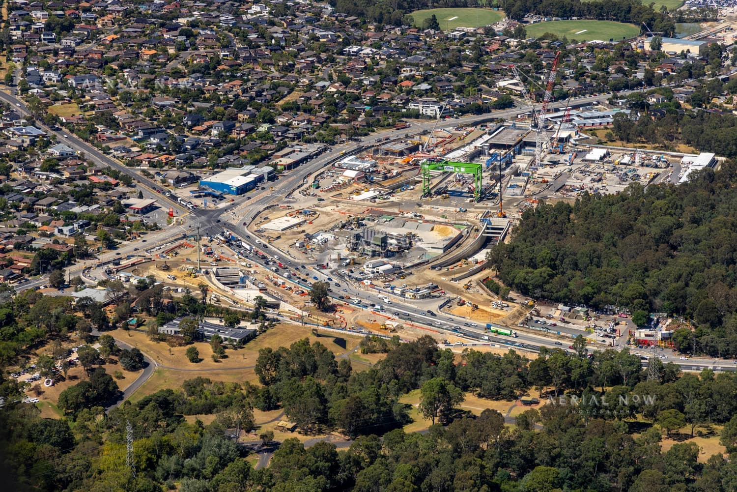
Reference angles established on the first visit make each subsequent set directly comparable.

Melbourne Metro and Regional Victoria
A dated aerial record from first earthworks through to completion, structured around the milestones your project team needs to communicate.
01
Reference angles established on the first visit make each subsequent set directly comparable.
02
Dated high-resolution images support reporting, progress claims and stakeholder communication.
03
Each visit is organised in the client portal, ready for the people who need it.
How it works
01
Share the address, project stage and reporting rhythm you need.
02
The first shoot establishes a repeatable view of the project.
03
We deliver each visit in a dated gallery for your team.