01
Corridor context
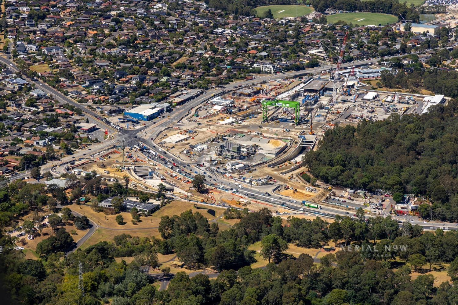
Show the relationship between works, surrounding land use and the wider network.

Infrastructure and Public Works
Structured aerial documentation for corridors, assets and construction work where scale, dates and repeatable coverage matter.
01
Show the relationship between works, surrounding land use and the wider network.
02
Create a clear record for project teams, authorities and community updates.
03
Use the right aircraft platform for the site, weather and geographic extent.
How it works
01
We work with your site boundary, route or asset scope.
02
Airspace, access and the appropriate platform are addressed before the flight.
03
Images are supplied in a dated, organised gallery for your team.